Pédernec
Pédernec (Breton: Pederneg) is a commune in the Côtes-d'Armor department of Brittany in northwestern France.
Pédernec
Pederneg | |
|---|---|
 Chapel of St. Hervé on the summit of the Menez Bré | |
Location of Pédernec 
| |
 Pédernec 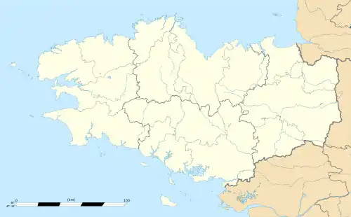 Pédernec | |
| Coordinates: 48°35′52″N 3°16′07″W | |
| Country | France |
| Region | Brittany |
| Department | Côtes-d'Armor |
| Arrondissement | Guingamp |
| Canton | Bégard |
| Intercommunality | Pays de Bégard |
| Government | |
| • Mayor (2014–2020) | Jean-Paul Le Goff |
| Area 1 | 27.05 km2 (10.44 sq mi) |
| Population (2017-01-01)[1] | 1,851 |
| • Density | 68/km2 (180/sq mi) |
| Time zone | UTC+01:00 (CET) |
| • Summer (DST) | UTC+02:00 (CEST) |
| INSEE/Postal code | 22164 /22540 |
| Elevation | 102–302 m (335–991 ft) |
| 1 French Land Register data, which excludes lakes, ponds, glaciers > 1 km2 (0.386 sq mi or 247 acres) and river estuaries. | |
Population
| Year | Pop. | ±% |
|---|---|---|
| 1962 | 1,712 | — |
| 1968 | 1,629 | −4.8% |
| 1975 | 1,527 | −6.3% |
| 1982 | 1,664 | +9.0% |
| 1990 | 1,633 | −1.9% |
| 1999 | 1,654 | +1.3% |
| 2008 | 1,870 | +13.1% |
| 2012 | 1,937 | +3.6% |
Inhabitants of Pédernec are called pédernécois in French.
Sights
- Manoir de Kermataman - 16th century manor-house with Gothic and Renaissance façades.
References
- "Populations légales 2017". INSEE. Retrieved 6 January 2020.
External links
| Wikimedia Commons has media related to Pédernec. |
- Base Mérimée: Search for heritage in the commune, Ministère français de la Culture. (in French)
| Authority control |
|---|
This article is issued from Wikipedia. The text is licensed under Creative Commons - Attribution - Sharealike. Additional terms may apply for the media files.