Petra, Boeotia
Petra (Greek: Πέτρα) is a village and a community of the Aliartos municipality.[2] Before the 2011 local government reform it was part of the municipality of Aliartos, of which it was a municipal district.[2] The 2011 census recorded 347 inhabitants in the village.[1] The community of Petra covers an area of 24.451 km2.[3]
Petra
Πέτρα | |
|---|---|
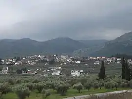 A view of Petra | |
 Petra | |
| Coordinates: 38°22.267′N 23°3.45′E | |
| Country | Greece |
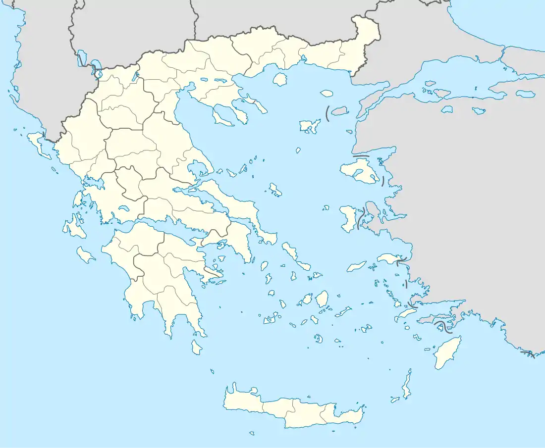
| Administrative region | Central Greece |
| Regional unit | Boeotia |
| Municipality | Aliartos |
| Municipal unit | Aliartos |
| Elevation | 190 m (620 ft) |
| Community | |
| • Population | 347 (2011) |
| • Area (km2) | 24.451 |
| Time zone | UTC+2 (EET) |
| • Summer (DST) | UTC+3 (EEST) |
| Postal code | 320 01 |
| Area code(s) | +30-2368-xxx-xxx |
| Vehicle registration | ΒΙ |
History
In July 1829, Petra was the site of the Battle of Petra, the last battle of the Greek War of Independence.
See also
References
- "Απογραφή Πληθυσμού - Κατοικιών 2011. ΜΟΝΙΜΟΣ Πληθυσμός" (in Greek). Hellenic Statistical Authority.
- Kallikratis law Greece Ministry of Interior (in Greek)
- "Population & housing census 2001 (incl. area and average elevation)" (PDF) (in Greek). National Statistical Service of Greece.
| Wikimedia Commons has media related to Petra, Boeotia. |
This article is issued from Wikipedia. The text is licensed under Creative Commons - Attribution - Sharealike. Additional terms may apply for the media files.