Piney Creek Ravine State Natural Area
Piney Creek Ravine State Natural Area is an Illinois state park on 198 acres (80 ha) in Jackson and Randolph Counties, Illinois, United States.
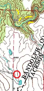
Site locations at Piney Creek: the red circle is the parking area, and the yellow spots are petroglyph sites.
| Piney Creek Ravine State Natural Area | |
|---|---|
IUCN category V (protected landscape/seascape) | |
 Piney Creek Ravine | |
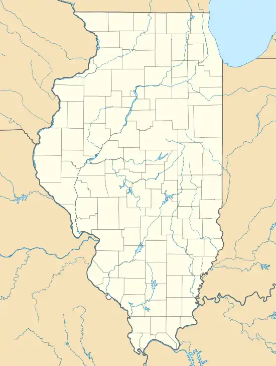 Map of the U.S. state of Illinois showing the location of Piney Creek Ravine State Natural Area | |
| Location | Jackson and Randolph Counties, Illinois, USA |
| Nearest city | Steeleville, Illinois |
| Coordinates | 37°53′56″N 89°38′14″W |
| Area | 198 acres (80 ha) |
| Established | 1972 |
| Governing body | Illinois Department of Natural Resources |
One cliff face in the ravine contains several Native American petroglyphs, along with modern graffiti, which was added to the National Register of Historic Places in 2001.
References
- "Piney Creek Ravine State Natural Area". Illinois Department of Natural Resources. Retrieved 2018-07-19.
- USGS. "USGS Welge (IL) Quad". TopoQuest. Retrieved 2008-07-05.
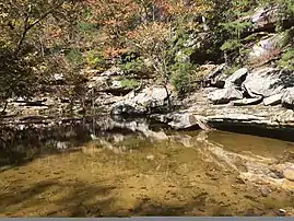
A view of the ravine in fall of 2018.
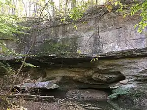
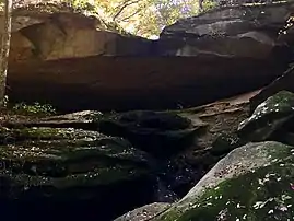
A view of a rock face alongside the creek.
A dry waterfall at the beginning of the ravine.
This article is issued from Wikipedia. The text is licensed under Creative Commons - Attribution - Sharealike. Additional terms may apply for the media files.