Playford Highway
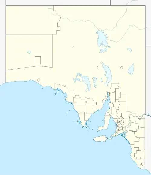
The Playford Highway (state route B23) is a main road on Kangaroo Island in South Australia. It extends from Kingscote through Cygnet River and Parndana to Cape Borda.[2]
Playford Highway | |
|---|---|
 East end West end | |
| Coordinates |
|
| General information | |
| Type | Highway |
| Location | Kangaroo Island |
| Length | 101 km (63 mi)[1] |
| Route number(s) | |
| Major junctions | |
| East end | Kingscote |
| |
| West end | Cape Borda |
| Location(s) | |
| LGA(s) | Kangaroo Island Council |
| Major settlements | Cygnet River, Parndana |
| Highway system | |
Major junctions
| Location | km[1] | mi | Destinations | Notes |
|---|---|---|---|---|
| Kingscote | ||||
| Cygnet River | 6 | 3.7 | Route B23 goes in all three directions from this intersection | |
| Parndana | 38 | 24 | ||
| Gosse | 72 | 45 | W End Highway – Cape du Couedic | |
| Cape Borda | 101 | 63 | Playford Highway terminus |
References
- Google (17 October 2014). "Driving directions for Playford Highway" (Map). Google Maps. Google. Retrieved 17 October 2014.
- A.J. Milazzo (9 August 2010). "Naming of State Rural Roads - Kangaroo Island" (PDF). Rack Plan 993. Retrieved 17 October 2014.
Road infrastructure in South Australia | ||
|---|---|---|
| Expressways |
| |
| Interstate highways | ||
| State highways | ||
| Arterial roads |
| |
| Outback tracks | ||
This article is issued from Wikipedia. The text is licensed under Creative Commons - Attribution - Sharealike. Additional terms may apply for the media files.