Reñihúe Airport
Reñihúe Airport (Spanish: Aeropuerto de Reñihúe, (ICAO: SCRH)) is an airport serving the hamlet of Reñihúe, 41 kilometres (25 mi) north-northeast of Chaitén, a city in the Los Lagos Region of Chile. Reñihué is at the eastern end of Reñihué Fjord, which opens into the Gulf of Ancud.
Reñihúe Airport | |||||||||||
|---|---|---|---|---|---|---|---|---|---|---|---|
| Summary | |||||||||||
| Airport type | Private | ||||||||||
| Serves | Chaitén | ||||||||||
| Location | Reñihúe | ||||||||||
| Elevation AMSL | 16 ft / 5 m | ||||||||||
| Coordinates | 42°35′10″S 72°29′44″W | ||||||||||
| Map | |||||||||||
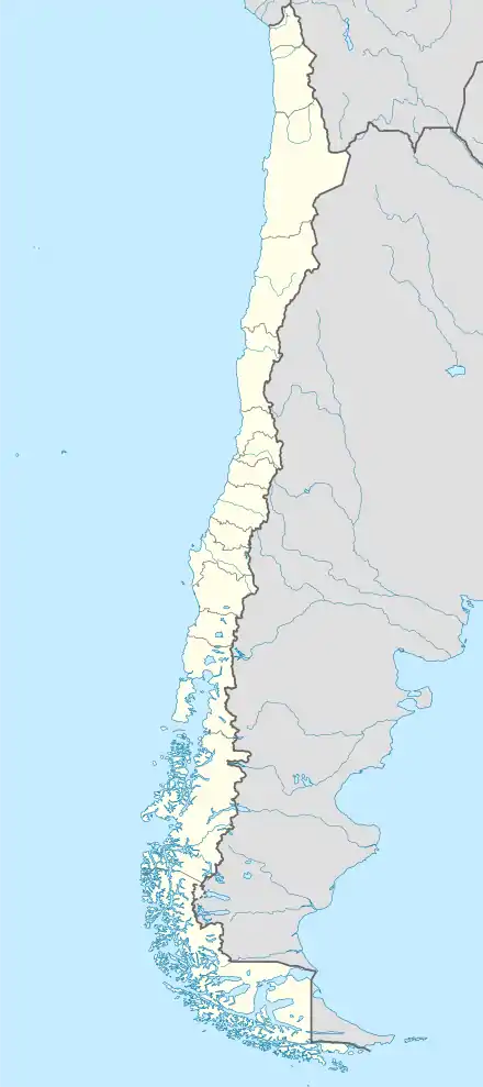 SCRH Location of Reñihúe Airport in Chile | |||||||||||
| Runways | |||||||||||
| |||||||||||
There is mountainous terrain in all quadrants except approaches to the airport along the fjord or along the Reñihué River valley.
The Chaiten VOR-DME (Ident: TEN) is 19.5 nautical miles (36.1 km) southwest of the airport.[4]
See also
 Chile portal
 Aviation portal
- Transport in Chile
- List of airports in Chile
References
- Airport record for Reñihúe Airport at Landings.com. Retrieved 2013-09-03
- Google (2013-09-03). "location of Reñihúe Airport" (Map). Google Maps. Google. Retrieved 2013-09-03.
- Airport information for Reñihúe Airport at Great Circle Mapper.
- Chaiten VOR
External links
- OpenStreetMap - Reñihúe
- OurAirports - Reñihúe
- FallingRain - Reñihúe Airport
- Accident history for Reñihúe Airport at Aviation Safety Network
This article is issued from Wikipedia. The text is licensed under Creative Commons - Attribution - Sharealike. Additional terms may apply for the media files.