Saint-Lary, Gers
Saint-Lary or Saint-Lary dans le Gers (Gascon: Sent Lari) is a commune in the Gers department in southwestern France.
Saint-Lary | |
|---|---|
Location of Saint-Lary 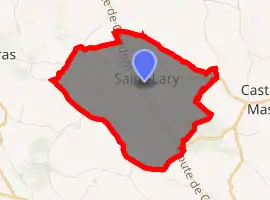
| |
 Saint-Lary 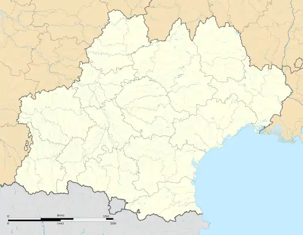 Saint-Lary | |
| Coordinates: 43°43′28″N 0°30′03″E | |
| Country | France |
| Region | Occitanie |
| Department | Gers |
| Arrondissement | Auch |
| Canton | Gascogne-Auscitaine |
| Government | |
| • Mayor (2008–2014) | Jacky Lafaille |
| Area 1 | 9.67 km2 (3.73 sq mi) |
| Population (2017-01-01)[1] | 279 |
| • Density | 29/km2 (75/sq mi) |
| Time zone | UTC+01:00 (CET) |
| • Summer (DST) | UTC+02:00 (CEST) |
| INSEE/Postal code | 32384 /32360 |
| Elevation | 156–260 m (512–853 ft) (avg. 182 m or 597 ft) |
| 1 French Land Register data, which excludes lakes, ponds, glaciers > 1 km2 (0.386 sq mi or 247 acres) and river estuaries. | |
Geography
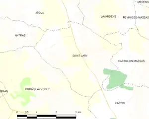
Saint-Lary and its surrounding communes
Population
| Year | Pop. | ±% |
|---|---|---|
| 1962 | 170 | — |
| 1968 | 154 | −9.4% |
| 1975 | 134 | −13.0% |
| 1982 | 141 | +5.2% |
| 1990 | 174 | +23.4% |
| 1999 | 194 | +11.5% |
| 2008 | 237 | +22.2% |
See also
References
- "Populations légales 2017". INSEE. Retrieved 6 January 2020.
| Wikimedia Commons has media related to Saint-Lary (Gers). |
| Authority control |
|---|
This article is issued from Wikipedia. The text is licensed under Creative Commons - Attribution - Sharealike. Additional terms may apply for the media files.