San Vicente de Tagua Tagua Airport
San Vicente de Tagua Tagua Airport (Spanish: Aeropuerto San Vicente de Tagua Tagua, (ICAO: SCET)) was an airstrip 8 kilometres (5 mi) east-southeast of San Vicente de Tagua Tagua, a city in the O'Higgins Region of Chile.
San Vicente de Tagua Tagua Airport | |||||||||||
|---|---|---|---|---|---|---|---|---|---|---|---|
| Summary | |||||||||||
| Airport type | Closed | ||||||||||
| Serves | San Vicente de Tagua Tagua | ||||||||||
| Elevation AMSL | 748 ft / 228 m | ||||||||||
| Coordinates | 34°28′29.6″S 71°0′50″W | ||||||||||
| Map | |||||||||||
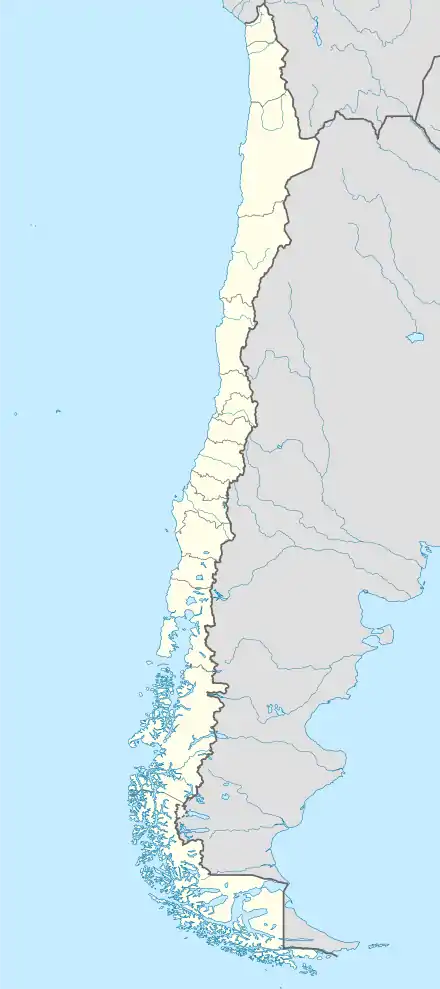
 SCET Location of airport in Chile | |||||||||||
| Runways | |||||||||||
| |||||||||||
Google Earth Historical Imagery (2/22/2011) shows a 710 metres (2,330 ft) grass airstrip running through a cultivated field. The (10/8/2011) image shows the runway planted with crops. Current imagery shows no trace of the runway.
See also
 Chile portal
 Aviation portal
- Transport in Chile
- List of airports in Chile
References
- Airport information for San Vincente Airport at Great Circle Mapper.
- Google Maps - San Vincente
Google Earth Historical Imgagery (10/8/2011)
This article is issued from Wikipedia. The text is licensed under Creative Commons - Attribution - Sharealike. Additional terms may apply for the media files.