Schwendt
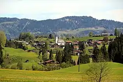
Schwendt is a municipality in the Kitzbühel district in the Austrian state of Tyrol located 17 km north of Kitzbühel and 6 km below Kössen. The name of the village comes from the old word „schwenden“ (meaning to grub up). The main sources of income are tourism and agriculture.
Schwendt | |
|---|---|
 | |
 Coat of arms | |
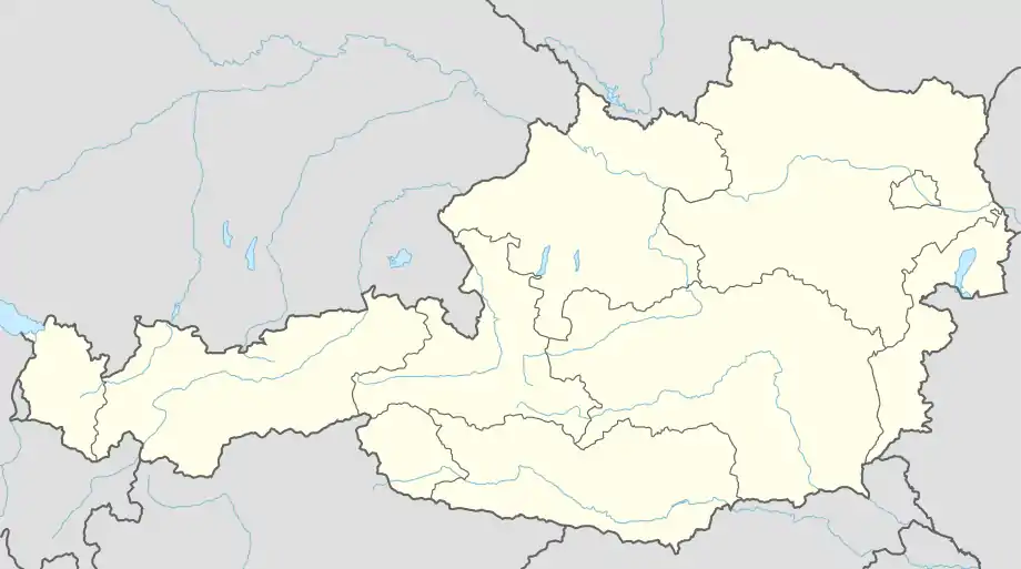 Schwendt Location within Austria | |
| Coordinates: 47°38′00″N 12°24′00″E | |
| Country | Austria |
| State | Tyrol |
| District | Kitzbühel |
| Government | |
| • Mayor | Sebastian Haunholter |
| Area | |
| • Total | 30.85 km2 (11.91 sq mi) |
| Elevation | 702 m (2,303 ft) |
| Population (2018-01-01)[2] | |
| • Total | 823 |
| • Density | 27/km2 (69/sq mi) |
| Time zone | UTC+1 (CET) |
| • Summer (DST) | UTC+2 (CEST) |
| Postal code | 6385 |
| Area code | 05375 |
| Vehicle registration | KB |
| Website | www.riskommunal.net/ schwendt |
Population
| Year | Pop. | ±% |
|---|---|---|
| 1869 | 394 | — |
| 1880 | 398 | +1.0% |
| 1890 | 413 | +3.8% |
| 1900 | 388 | −6.1% |
| 1910 | 352 | −9.3% |
| 1923 | 368 | +4.5% |
| 1934 | 364 | −1.1% |
| 1939 | 346 | −4.9% |
| 1951 | 421 | +21.7% |
| 1961 | 479 | +13.8% |
| 1971 | 568 | +18.6% |
| 1981 | 591 | +4.0% |
| 1991 | 673 | +13.9% |
| 2001 | 763 | +13.4% |
| 2011 | 796 | +4.3% |
References
- "Dauersiedlungsraum der Gemeinden Politischen Bezirke und Bundesländer - Gebietsstand 1.1.2018". Statistics Austria. Retrieved 10 March 2019.
- "Einwohnerzahl 1.1.2018 nach Gemeinden mit Status, Gebietsstand 1.1.2018". Statistics Austria. Retrieved 9 March 2019.
| Wikimedia Commons has media related to Schwendt. |
This article is issued from Wikipedia. The text is licensed under Creative Commons - Attribution - Sharealike. Additional terms may apply for the media files.