Sherwood Shores, Texas
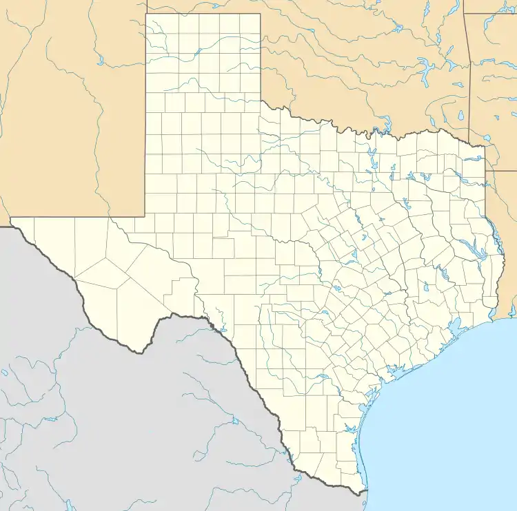
Sherwood Shores is an unincorporated community and census-designated place in Grayson County, Texas, United States. Its population was 1,190 as of the 2010 census.[1] The community is located on the Red River, which forms the state line with Oklahoma.
Sherwood Shores, Texas | |
|---|---|
 Sherwood Shores  Sherwood Shores | |
| Coordinates: 33°51′08″N 96°49′04″W | |
| Country | United States |
| State | Texas |
| County | Grayson |
| Area | |
| • Total | 4.041 sq mi (10.47 km2) |
| • Land | 2.849 sq mi (7.38 km2) |
| • Water | 1.192 sq mi (3.09 km2) |
| Elevation | 718 ft (219 m) |
| Population | |
| • Total | 1,190 |
| • Density | 417.7/sq mi (161.3/km2) |
| Time zone | UTC-6 (Central (CST)) |
| • Summer (DST) | UTC-5 (CDT) |
| Area code(s) | 940 |
| GNIS feature ID | 2652414[2] |
Geography
According to the U.S. Census Bureau, the community has an area of 4.041 square miles (10.47 km2); 2.849 square miles (7.38 km2) of its area is land, and 1.192 square miles (3.09 km2) is water.[1]
References
- "2010 Census Gazetteer Files - Places: Texas". U.S. Census Bureau. Retrieved March 18, 2017.
- "Sherwood Shores". Geographic Names Information System. United States Geological Survey.
Municipalities and communities of Grayson County, Texas, United States | ||
|---|---|---|
| Cities | 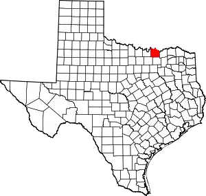 Grayson County map | |
| Towns | ||
| CDPs | ||
| Other unincorporated communities | ||
| Footnotes | ‡This populated place also has portions in an adjacent county or counties | |
| ||
This article is issued from Wikipedia. The text is licensed under Creative Commons - Attribution - Sharealike. Additional terms may apply for the media files.