Styków, Podkarpackie Voivodeship
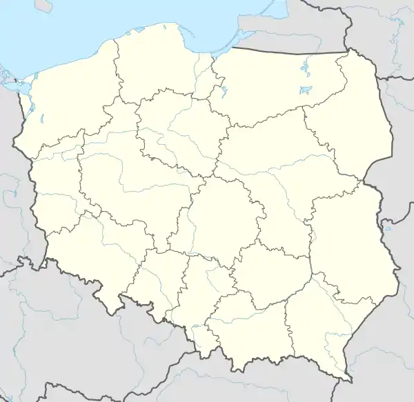
Styków [ˈstɨkuf] is a village in the administrative district of Gmina Głogów Małopolski, within Rzeszów County, Subcarpathian Voivodeship, in south-eastern Poland.[1] It lies approximately 3 kilometres (2 mi) north-west of Głogów Małopolski and 18 km (11 mi) north of the regional capital Rzeszów.
Styków | |
|---|---|
Village | |
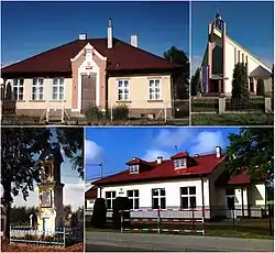 Styków: people's house, church of St. Michael, wayside shrine, primary school | |
 Styków | |
| Coordinates: 50°11′N 21°57′E | |
| Country | |
| Voivodeship | Subcarpathian |
| County | Rzeszów County |
| Gmina | Głogów Małopolski |
| Area | 9.71 km2 (3.75 sq mi) |
| Highest elevation | 250 m (820 ft) |
| Lowest elevation | 210 m (690 ft) |
| Population (2011) | 845 |
| • Density | 87/km2 (230/sq mi) |
| Time zone | UTC+1 (CET) |
| • Summer (DST) | UTC+2 (CEST) |
| Postal code | 36-060 |
| Area code(s) | +48 17 |
| Car plates | RZE |
The village has a population of 845 (2011 year).

This article is issued from Wikipedia. The text is licensed under Creative Commons - Attribution - Sharealike. Additional terms may apply for the media files.