Tolquién Airport
Tolquién Airport (Spanish: Aeródromo de Tolquién, (ICAO: SCAH)) is an airport serving Achao, a coastal town on Quinchao Island in the Los Lagos Region of Chile. The airport is on a bluff overlooking the Gulf of Ancud, 3.2 kilometres (2 mi) northwest of Achao.
Tolquién Airport | |||||||||||
|---|---|---|---|---|---|---|---|---|---|---|---|
| Summary | |||||||||||
| Airport type | Public | ||||||||||
| Serves | Achao, Chile | ||||||||||
| Elevation AMSL | 551 ft / 168 m | ||||||||||
| Coordinates | 42°27′00″S 73°31′30″W | ||||||||||
| Map | |||||||||||
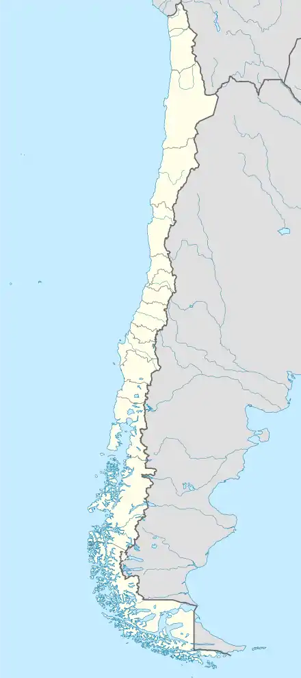 SCAH Location of Tolquién Airport in Chile | |||||||||||
| Runways | |||||||||||
| |||||||||||
The runway was paved sometime after September, 2013.[4] The bluff dropoff is 50 metres (160 ft) past the airport boundary on the north end of the runway.
The Mocopulli VOR-DME (Ident: MPI) is located 10.6 nautical miles (19.6 km) northwest of the airport.[5]
See also
 Chile portal
 Aviation portal
- Transport in Chile
- List of airports in Chile
References
- Airport record for Tolquién Airport at Landings.com. Retrieved 2013-09-03
- Google (2013-09-03). "location of Tolquién Airport" (Map). Google Maps. Google. Retrieved 2013-09-03.
- Airport information for Tolquién Airport at Great Circle Mapper.
- Google Earth Historical Imagery (9/26/2013)(12/2/2016)
- Mocopulli VOR
External links
- OpenStreetMap - Tolquién
- OurAirports - Tolquién
- FallingRain - Tolquién Airport
- Accident history for Tolquién Airport at Aviation Safety Network
This article is issued from Wikipedia. The text is licensed under Creative Commons - Attribution - Sharealike. Additional terms may apply for the media files.