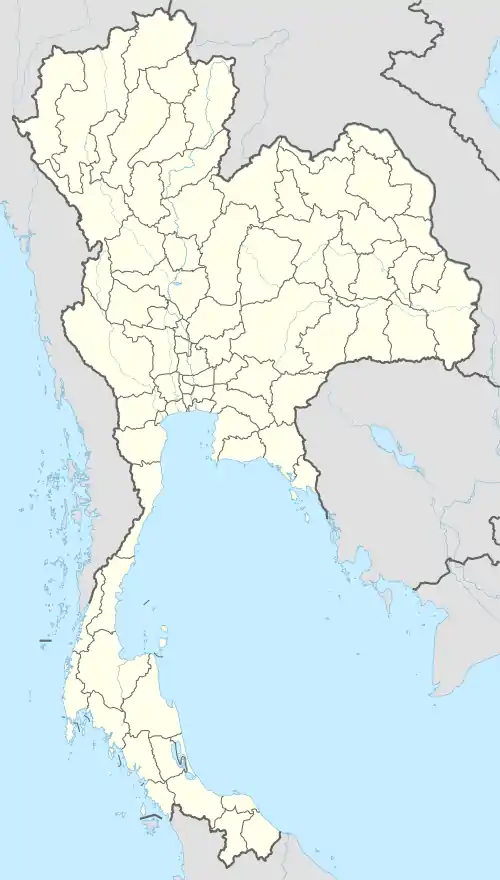
Uttaradit
The original name of Mueang district, Uttaradit, was Bang Pho. This district was under the control of Phi Chai District. Later, it was established as Uttaradit Province and Bang Pho District became the capital district. It was changed to Mueang Uttaradit District recently. The district is the seat of government and the center of economic activity of Uttaradit Province. Uttaradit is 483 km north of Bangkok.[1]
Uttaradit
อุตรดิตถ์ | |
|---|---|
Provincial Capital City | |
 Nan River in Uttraradit | |
 Uttaradit | |
| Coordinates: 17°37′23″N 100°5′45″E | |
| Country | Thailand |
| Province | Uttaradit Province |
| • Land | 1.349 ha (3.33 acres) |
| • Metro | 76.6 ha (189 acres) |
| Elevation | 64 m (210 ft) |
| Population (2017) | |
| • Total | 33,357 |
| Time zone | UTC+7 (ICT) |
Geography
The district is surrounded by the following districts:
- North – Den Chai District (Phrae Province) and Tha Pla District.
- East – Tha Pla and Thong Saen Khan Districts.
- South – Thong Saen Khan and Tron Districts.
- West – Laplae District.
History
In the past, Mueang District was called Bang Pho Tah It. It grew rapidly due to its harbor. King Rama V ordered the capital moved from Phi Chai District to Muang District. Next, in the reign of King Rama VI, the king ordered the incorporation of Mueang District into Uttaradit Province.
Climate
Uttaradit used to hold the record for the highest temperature ever recorded in Thailand: 44.5 °C (112.1 °F) observed at Uttaradit on 27 April 1960.[2] This was broken when temperatures in Mae Hong Son reached 44.6 °C (112.3 °F) on 28 April 2016.[3]
Uttaradit has a tropical savanna climate (Köppen climate classification Aw). Winters are dry and very warm. Temperatures rise until April, which is very hot with an average daily maximum of 38.2 °C (100.8 °F). The monsoon season runs from May through October, with heavy rain and somewhat cooler temperatures during the day, although nights remain warm.
| Climate data for Uttaradit (1981–2010) | |||||||||||||
|---|---|---|---|---|---|---|---|---|---|---|---|---|---|
| Month | Jan | Feb | Mar | Apr | May | Jun | Jul | Aug | Sep | Oct | Nov | Dec | Year |
| Record high °C (°F) | 37.1 (98.8) |
39.3 (102.7) |
40.8 (105.4) |
42.4 (108.3) |
44.5 (112.1) |
41.6 (106.9) |
38.0 (100.4) |
37.9 (100.2) |
37.1 (98.8) |
36.8 (98.2) |
37.3 (99.1) |
35.9 (96.6) |
44.5 (112.1) |
| Average high °C (°F) | 32.2 (90.0) |
34.5 (94.1) |
36.5 (97.7) |
37.9 (100.2) |
35.9 (96.6) |
34.2 (93.6) |
33.3 (91.9) |
32.9 (91.2) |
33.3 (91.9) |
33.3 (91.9) |
32.4 (90.3) |
31.1 (88.0) |
34.0 (93.2) |
| Daily mean °C (°F) | 24.1 (75.4) |
26.1 (79.0) |
28.7 (83.7) |
30.8 (87.4) |
29.8 (85.6) |
28.9 (84.0) |
28.4 (83.1) |
28.0 (82.4) |
28.0 (82.4) |
27.7 (81.9) |
25.9 (78.6) |
23.7 (74.7) |
27.5 (81.5) |
| Average low °C (°F) | 17.8 (64.0) |
19.4 (66.9) |
22.1 (71.8) |
24.7 (76.5) |
25.1 (77.2) |
25.0 (77.0) |
24.8 (76.6) |
24.5 (76.1) |
24.3 (75.7) |
23.5 (74.3) |
21.0 (69.8) |
18.0 (64.4) |
22.5 (72.5) |
| Record low °C (°F) | 10.4 (50.7) |
11.8 (53.2) |
13.7 (56.7) |
19.1 (66.4) |
20.0 (68.0) |
22.4 (72.3) |
21.4 (70.5) |
21.8 (71.2) |
20.6 (69.1) |
16.3 (61.3) |
11.6 (52.9) |
8.2 (46.8) |
8.2 (46.8) |
| Average rainfall mm (inches) | 5.5 (0.22) |
14.5 (0.57) |
23.4 (0.92) |
71.0 (2.80) |
230.0 (9.06) |
206.4 (8.13) |
166.4 (6.55) |
263.4 (10.37) |
248.3 (9.78) |
111.0 (4.37) |
26.7 (1.05) |
5.0 (0.20) |
1,371.6 (54.00) |
| Average rainy days | 1.1 | 1.6 | 2.9 | 6.6 | 14.3 | 16.8 | 18.5 | 21.1 | 18.1 | 10.4 | 3.6 | 0.9 | 115.9 |
| Average relative humidity (%) | 68 | 65 | 62 | 64 | 73 | 78 | 80 | 83 | 82 | 80 | 74 | 70 | 73 |
| Mean monthly sunshine hours | 291.4 | 274.0 | 313.1 | 243.0 | 198.4 | 117.0 | 120.9 | 117.8 | 144.0 | 198.4 | 252.0 | 257.3 | 2,527.3 |
| Mean daily sunshine hours | 9.4 | 9.7 | 10.1 | 8.1 | 6.4 | 3.9 | 3.9 | 3.8 | 4.8 | 6.4 | 8.4 | 8.3 | 6.9 |
| Source 1: Thai Meteorological Department[4] (May record high only)[2] | |||||||||||||
| Source 2: Office of Water Management and Hydrology, Royal Irrigation Department (sun and humidity)[5] | |||||||||||||
Transport
Uttaradit is served by a station on the State Railway of Thailand. The nearest airport is at Phitsanulok.
References
- "Bangkok to Uttaradit". Google Maps. Retrieved 18 May 2015.
- "The Climate of Thailand" (PDF). Thai Meteorological Department. Retrieved 31 July 2016.
- "Exceptional Heat Wave 2016". Meteo France. Retrieved 29 April 2016.
- "Climatological Data for the Period 1981–2010". Thai Meteorological Department. p. 4–5. Retrieved 31 July 2016.
- "ปริมาณการใช้น้ำของพืชอ้างอิงโดยวิธีของ Penman Monteith (Reference Crop Evapotranspiration by Penman Monteith)" (PDF) (in Thai). Office of Water Management and Hydrology, Royal Irrigation Department. p. 26. Retrieved 31 July 2016.
External links
 Uttaradit travel guide from Wikivoyage
- Website of the town