Waterfoot, East Renfrewshire
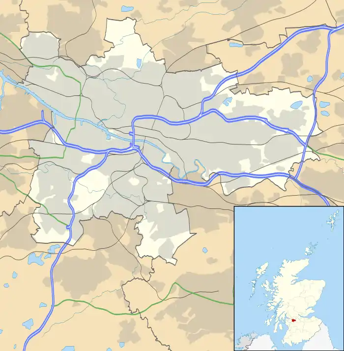
Waterfoot (Scots: Watterfit)[1] is a village in East Renfrewshire, Scotland. It is on the B767 road between Clarkston and Eaglesham, which are both 1 mile (1.6 km) to the north and south respectively, while Newton Mearns is about 2 miles (3 km) to the west and East Kilbride about 5 miles (8 km) to the southeast.[2] The village shares a community council with the neighbouring community of Eaglesham, the Eaglesham and Waterfoot Community Council meets in Eaglesham on a monthly basis.[3]
Waterfoot
| |
|---|---|
 Waterfoot Bridge | |
| Population | 1,279 |
| OS grid reference | NS569546 |
| • Edinburgh | 44 mi (71 km) ENE |
| • London | 340 mi (550 km) SSE |
| Community council |
|
| Council area | |
| Lieutenancy area | |
| Country | Scotland |
| Sovereign state | United Kingdom |
| Post town | Glasgow |
| Postcode district | G76 |
| Dialling code | 0141 |
| Police | Scotland |
| Fire | Scottish |
| Ambulance | Scottish |
| UK Parliament | |
| Scottish Parliament | |
During the Second World War, deputy leader of the Nazi party Rudolf Hess, crash landed in Floors Farm, west of the village.[4]
The audio equipment manufacturer Linn Products has its factory to the southwest of Waterfoot.[5]
Development
The Glasgow Southern Orbital road (part of the A726) passes just to the south of Waterfoot.[5] The village lies on the west bank of the White Cart Water, and the original settlement grew up around a farm, mill and smithy.[6] One early record of the village is in Timothy Pont's maps of Scotland (1583–1596).[7]
Waterfoot today is purely residential in character, having expanded as a commuter dormitory village, primarily in the latter half of the 20th century.[6] The 2011 census reported that Waterfoot had a population of 1,280.[8] There was some controversy in 2012 when East Renfrewshire Council wanted to sell Waterfoot Park to the housebuilder CALA Homes so that they could build 29 homes.[9] A new park, Inky Pink Park, was created using funds provided by CALA to mitigate for the loss of Waterfoot Park when it was built on.[10]
Notable people
Winifred Drinkwater, the world's first female commercial airline pilot, was born in Waterfoot on 11 April 1913.[11]
Gallery
 Weir White Cart Water
 Brackenrig Burn
 "Floors Farm" near Waterfoot
References
- Andy Eagle (27 February 2003). "The Online Scots Dictionary". Scots-online.org. Retrieved 26 September 2013.
- "Measure Distance on a Map". Free Map Tools. Retrieved 9 March 2020.
- "Eaglesham and Waterfoot Community Council". East Renfrewshire Council. Retrieved 9 March 2020.
- Dominic Midgley (11 May 2016). "The day Hitler's deputy fled to Britain". Daily Express. Retrieved 9 March 2020.
- "Linn - Travel Directions". Linn Products Limited. Retrieved 9 March 2020.
- "Waterfoot". Gazetteer for Scotland. Retrieved 9 March 2020.
- "Pont Maps of Scotland". National Libraries of Scotland. Retrieved 9 March 2020.
- "Waterfoot". www.citypopulation.de. Retrieved 9 March 2020.
- Gillian Loney (7 October 2012). "Battle continues over Waterfoot". The Extra. Retrieved 9 March 2020.
- "Waterfoot New Inky Pink Park". Eaglesham & Waterfoot Community Council News. Eaglesham & Waterfoot Community Council. 10 January 2020. Retrieved 9 March 2020.
- Elizabeth L. Ewan; Sue Innes; Sian Reynolds; Rose Pipes, eds. (2007). Biographical Dictionary of Scottish Women. Edinburgh University Press. p. 102. ISBN 0748626603.
External links
| Wikimedia Commons has media related to Waterfoot, East Renfrewshire. |
- Waterfoot at Gazetteer for Scotland
- Busby & Waterfoot (architecture and history) at Scotcities

