Wellington Range
The Wellington Range is a mountain range located in the southeast region of Tasmania, Australia. The range is mainly composed of dolerite and features evidence of past glaciation.
| Wellington Range | |
|---|---|
 A view of the Wellington Range with Hobart in the foreground | |
| Highest point | |
| Peak | Kunanyi / Mount Wellington |
| Elevation | 1,269 m (4,163 ft) [1] AHD |
| Coordinates | 42°53′24″S 147°13′48″E [2] |
| Geography | |
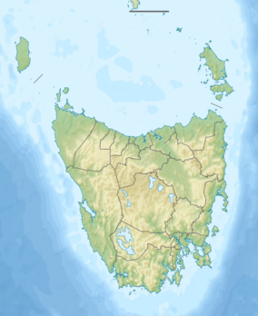
 Location in Tasmania | |
| Country | Australia |
| State | Tasmania |
| Range coordinates | 42°52′48″S 146°56′24″E [3] |
| Geology | |
| Type of rock | Dolerite |
Prominent features in the range include the dual-named Kunanyi / Mount Wellington[4] at 1,269 metres (4,163 ft) above sea level,[1] Collins Cap, Collins Bonnet via Myrtle Forest, Trestle Mountain, Mount Marian, Mount Charles and Mount Patrick via Middle Hill. The Wellington Range is part of the Wellington Park Reserve.
Environment
The Wellington Range is home to over 500 unique species of flora, despite being mostly high alpine region. The range forms part of the South-east Tasmania Important Bird Area, identified as such by BirdLife International because of its importance in the conservation of a range of woodland birds, especially the endangered swift parrot and forty-spotted pardalote.[5]
See also
| Wikimedia Commons has media related to: |
References
- "Mount Wellington, Australia". Peakbagger.com. Retrieved 7 June 2015.
- "Mount Wellington (TAS)". Gazetteer of Australia online. Geoscience Australia, Australian Government.
- "Wellington Range (TAS)". Gazetteer of Australia online. Geoscience Australia, Australian Government.
- "Tasmanian dual naming policy announced atop Kunanyi". Australian Broadcasting Corporation. 13 March 2013. Retrieved 20 November 2014.
- "IBA: South-east Tasmania". Birdata. Birds Australia. Retrieved 13 October 2011.