Štítov
Štítov (Czech pronunciation: [ˈʃciːtof]) is a village and municipality (obec) in Rokycany District in the Plzeň Region of the Czech Republic.
Štítov | |
|---|---|
Municipality | |
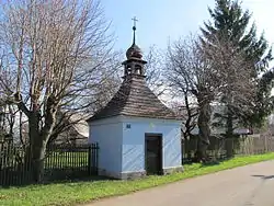 Chapel | |
 Flag  Coat of arms | |
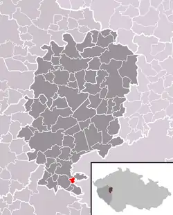 Location of Štítov within Rokycany District | |
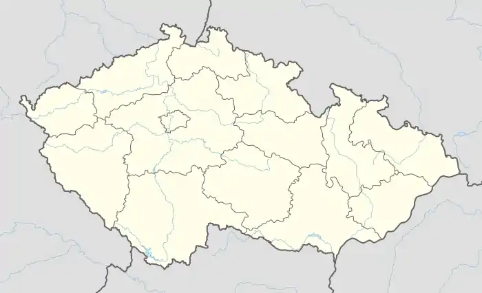 Štítov Location of Štítov within Czech Republic | |
| Coordinates: 49°40′6″N 13°40′46″E | |
| Country | |
| Region | Plzeň |
| District | Rokycany |
| Area | |
| • Total | 2.61 km2 (1.01 sq mi) |
| Elevation | 533 m (1,749 ft) |
| Population (2016) | |
| • Total | 63 |
| • Density | 24/km2 (63/sq mi) |
| Postal code | 338 43 |
| Website | http://www.stitov.cz |
The municipality covers an area of 1.29 square kilometres (0.50 sq mi), and has a population of 58 (as at 3 July 2006).
Štítov lies approximately 12 kilometres (7 mi) south-east of Rokycany, 24 km (15 mi) east of Plzeň, and 71 km (44 mi) south-west of Prague.
This article is issued from Wikipedia. The text is licensed under Creative Commons - Attribution - Sharealike. Additional terms may apply for the media files.