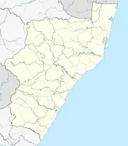
Anerley, KwaZulu-Natal
Anerley is a coastal village in the South Coast of KwaZulu-Natal, South Africa.[2][3][4]
Anerley | |
|---|---|
 Anerley 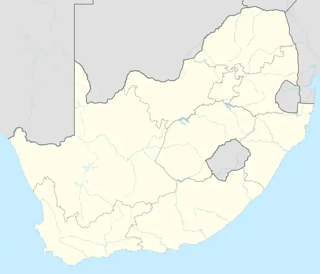 Anerley | |
| Coordinates: 30.670°S 30.503°E | |
| Country | South Africa |
| Province | KwaZulu-Natal |
| District | Ugu |
| Municipality | Ray Nkonyeni |
| Main Place | Port Shepstone |
| Area | |
| • Total | 1.22 km2 (0.47 sq mi) |
| Population (2011)[1] | |
| • Total | 630 |
| • Density | 520/km2 (1,300/sq mi) |
| Racial makeup (2011) | |
| • Black African | 27.7% |
| • Coloured | 0.6% |
| • Indian/Asian | 4.5% |
| • White | 67.1% |
| • Other | 0.2% |
| First languages (2011) | |
| • English | 48.6% |
| • Afrikaans | 26.2% |
| • Zulu | 14.3% |
| • Xhosa | 9.5% |
| • Other | 1.4% |
| Time zone | UTC+2 (SAST) |
| PO box | 4230 |
| Area code | 039 |
The village is a holiday resort some 111km south-west of Durban and 10km north-east of Port Shepstone central and is said to be named after Anerley, a district in the south-east of London.[5]
References
- "Sub Place Anerley". Census 2011.
- "ANERLEY Postal Code (ZN)". postalcodez.co.za. Retrieved 2020-05-02.
- "Anerley Post Agency in Southport, Port Shepstone, KwaZulu-Natal". pathfinda.com. Retrieved 2020-05-02.
- "Anerley Beach (Port Shepstone, South Africa): Address". Tripadvisor. Retrieved 2020-05-02.
- "Dictionary of Southern African Place Names (Public Domain)". Human Science Research Council. p. 60.
Municipalities and communities of Ugu District Municipality, KwaZulu-Natal | ||
|---|---|---|
District seat: Port Shepstone | ||
| Ray Nkonyeni | .svg.png.webp) Ugu District within South Africa | |
| Umzumbe | ||
| uMuziwabantu | ||
| Vulamehlo | ||
| uMdoni | ||
This article is issued from Wikipedia. The text is licensed under Creative Commons - Attribution - Sharealike. Additional terms may apply for the media files.