Mayfield, KwaZulu-Natal
Mayfield is an area south of Braemar in Umzinto, South Africa, surrounded by Mbungulu, Braemar, and Mkhunya/Dumisa. It is located under Ugu District Municipality at an offramp, D307 in Sawoti, opposite Sawoti Police Station, that road goes to Mbungulu and Ncazuka.
Mayfield | |
|---|---|
 Mayfield 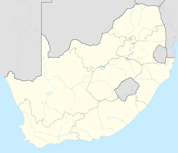 Mayfield | |
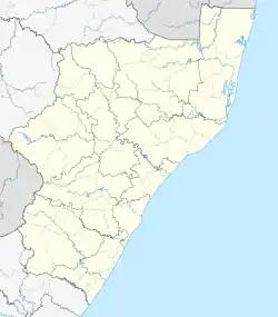
| Coordinates: 30.261°S 30.505°E | |
| Country | South Africa |
| Province | KwaZulu-Natal |
| District | Ugu |
| Municipality | Vulamehlo |
| Area | |
| • Total | 0.88 km2 (0.34 sq mi) |
| Population (2011)[1] | |
| • Total | 1,003 |
| • Density | 1,100/km2 (3,000/sq mi) |
| Racial makeup (2011) | |
| • Black African | 99.3% |
| • Indian/Asian | 0.2% |
| • Other | 0.5% |
| First languages (2011) | |
| • Zulu | 95.2% |
| • S. Ndebele | 2.0% |
| • English | 1.1% |
| • Other | 1.7% |
| Time zone | UTC+2 (SAST) |
In this area is where you will find Himmelberg Intermediate School, Mayfield and the road, D307 will also take you to Phungula Primary School, kwaMbungulu.
References
- "Main Place Mayfield". Census 2011.
Municipalities and communities of Ugu District Municipality, KwaZulu-Natal | ||
|---|---|---|
District seat: Port Shepstone | ||
| Ray Nkonyeni | .svg.png.webp) Ugu District within South Africa | |
| Umzumbe | ||
| uMuziwabantu | ||
| Vulamehlo | ||
| uMdoni | ||
This article is issued from Wikipedia. The text is licensed under Creative Commons - Attribution - Sharealike. Additional terms may apply for the media files.