Festubert Mountain
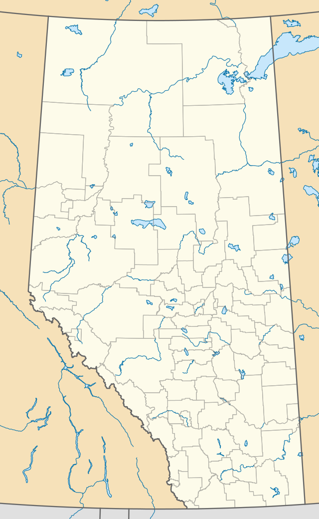
Festubert Mountain is located on the border of Alberta and British Columbia on the Continental Divide. It was named after Festubert, a village in France.[1][2]
| Festubert Mountain | |
|---|---|
 Festubert Mountain | |
| Highest point | |
| Elevation | 2,520 m (8,270 ft) [1] |
| Prominence | 295 m (968 ft) |
| Coordinates | 49°05′00″N 114°07′57″W |
| Geography | |
| Location | Alberta-British Columbia |
| Topo map | NTS 82G/01 |
See also
- List of peaks on the British Columbia-Alberta border
- Mountains of Alberta
- Mountains of British Columbia
References
- "2010-02-19". PeakFinder.com.
- "Festubert Mountain". Bivouac.com. Retrieved 2010-02-19.
This article is issued from Wikipedia. The text is licensed under Creative Commons - Attribution - Sharealike. Additional terms may apply for the media files.