Horní Bělá
Horní Bělá (German: Ober Biela) is a village and municipality (obec) in Plzeň-North District in the Plzeň Region of the Czech Republic.
Horní Bělá | |
|---|---|
Municipality | |
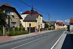 Center of the village | |
 Flag  Coat of arms | |
 Horní Bělá | |
| Coordinates: 49°53′5″N 13°15′28″E | |
| Country | |
| Region | Plzeň |
| District | Plzeň-North |
| Area | |
| • Total | 18.39 km2 (7.10 sq mi) |
| Elevation | 513 m (1,683 ft) |
| Population (2006) | |
| • Total | 540 |
| • Density | 29/km2 (76/sq mi) |
| Postal code | 331 52 |
| Website | http://www.hornibela.cz |
The municipality covers an area of 18.39 square kilometres (7.10 sq mi), and has a population of 540 (as at 3 July 2006).
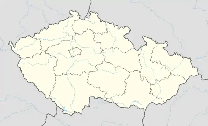
Horní Bělá lies approximately 18 kilometres (11 mi) north-west of Plzeň and 87 km (54 mi) west of Prague.
This article is issued from Wikipedia. The text is licensed under Creative Commons - Attribution - Sharealike. Additional terms may apply for the media files.