Kaltag Airport
Kaltag Airport (IATA: KAL, ICAO: PAKV, FAA LID: KAL)[2] is a state-owned public-use airport located one nautical mile (1.85 km) southwest of the central business district of Kaltag,[1] a city in the Yukon-Koyukuk Census Area of the U.S. state of Alaska.
Kaltag Airport | |||||||||||
|---|---|---|---|---|---|---|---|---|---|---|---|
| Summary | |||||||||||
| Airport type | Public | ||||||||||
| Owner | State of Alaska DOT&PF - Northern Region | ||||||||||
| Serves | Kaltag, Alaska | ||||||||||
| Elevation AMSL | 181 ft / 55 m | ||||||||||
| Coordinates | 64°19′08″N 158°44′29″W | ||||||||||
| Map | |||||||||||
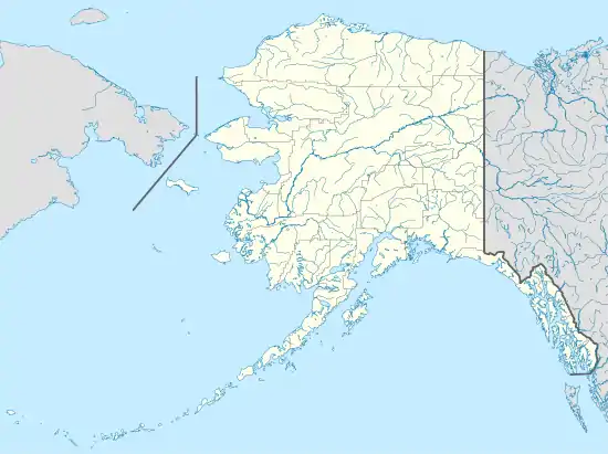 KAL Location of airport in Alaska | |||||||||||
| Runways | |||||||||||
| |||||||||||
Facilities
Kaltag Airport covers an area of 292 acres (118 ha) which contains one runway (3/21) with a gravel surface measuring 3,986 x 100 ft (1,215 x 30 m).[1]
Airlines and destinations
The following airlines offer scheduled passenger service at this airport:
| Airlines | Destinations |
|---|---|
| Everts Air | Fairbanks[3] |
| Wright Air Service | Fairbanks, Galena, Nulato, Ruby[4] |
Prior to its bankruptcy and cessation of all operations, Ravn Alaska served the airport from multiple locations.
Top destinations
| Rank | City | Passengers | Carriers |
|---|---|---|---|
| 1 | 1,000 | Frontier Flying | |
| 2 | 1,000 | Arctic Circle, Hageland |
References
- FAA Airport Form 5010 for KAL PDF, effective 5 July 2007.
- Great Circle Mapper: KAL - Kaltag, Alaska
- "Passenger Schedules". Retrieved 20 December 2020.
- "Timetable" (PDF). Wright Air Service. Retrieved December 20, 2020.
- http://www.transtats.bts.gov/airports.asp?pn=1&Airport=KAL&Airport_Name=Kaltag,%20AK:%20Kaltag%20Airport&carrier=FACTS
External links
- FAA Alaska airport diagram (GIF)
- FAA Terminal Procedures for KAL, effective January 28, 2021
- Resources for this airport:
- FAA airport information for KAL
- AirNav airport information for PAKV
- ASN accident history for KAL
- FlightAware airport information and live flight tracker
- NOAA/NWS latest weather observations for PAKV
- SkyVector aeronautical chart for KAL
This article is issued from Wikipedia. The text is licensed under Creative Commons - Attribution - Sharealike. Additional terms may apply for the media files.