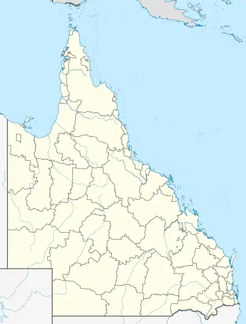
Mount Pleasant, Queensland (Moreton Bay Region)
Mount Pleasant is a rural locality in the Moreton Bay Region, Queensland, Australia.[2] In the 2016 census, Mount Pleasant had a population of 332 people.[1] Mount Pleasant is also a mountain in the north-east of the locality (27.15°S 152.7666667°E, height 525 metres (1,722 ft)) which is part of the D'Aguilar Range.[3]
| Mount Pleasant Queensland | |||||||||||||||
|---|---|---|---|---|---|---|---|---|---|---|---|---|---|---|---|
 Mount Pleasant Public Hall, 2020 | |||||||||||||||
 Mount Pleasant | |||||||||||||||
| Coordinates | 27.1477°S 152.7827°E | ||||||||||||||
| Population | 332 (2016 census)[1] | ||||||||||||||
| • Density | 8.949/km2 (23.18/sq mi) | ||||||||||||||
| Postcode(s) | 4521 | ||||||||||||||
| Area | 37.1 km2 (14.3 sq mi) | ||||||||||||||
| Time zone | AEST (UTC+10:00) | ||||||||||||||
| LGA(s) | Moreton Bay Region | ||||||||||||||
| State electorate(s) | Pine Rivers | ||||||||||||||
| Federal Division(s) | Dickson | ||||||||||||||
| |||||||||||||||
Geography
Other mountains in the D'Aguilar Range include Mount Nebo, Mount Glorious and Mount Mee.
History
In April 1920 the Upper North Pine Honour Roll was unveiled in the Mount Pleasant School of Arts by Richard Warren, the Member of the Queensland Legislative Assembly for Murrumba. The roll has the names of the 26 World War I servicemen from the Mount Pleasant and Lacey Creek districts; nine of them died in the war.[4]
At the 2011 census Mount Pleasant had a population of 304.[5]
Amenities
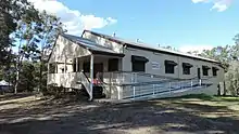
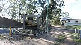
Mount Pleasant Community Hall (formerly Mount Pleasant Public Hall & School of Arts) is at 352 Mount Pleasant Road (27.16550°S 152.78390°E).[6]
Demographics
In the 2011 census, Mount Pleasant recorded a population of 304 people, 49% female and 51% male.[5] The median age of the Mount Pleasant population was 37 years, the same as the national median. 86.5% of people living in Mount Pleasant were born in Australia. The other top responses for country of birth were England 6.6%, New Zealand 3%, Canada 1.7%, Belgium 1%. 97.7% of people spoke only English at home.[5]
References
- Australian Bureau of Statistics (27 June 2017). "Mount Pleasant (SSC)". 2016 Census QuickStats. Retrieved 20 October 2018.

- "Mount Pleasant – locality in Moreton Bay Region (entry 45455)". Queensland Place Names. Queensland Government. Retrieved 5 November 2019.
- "mountain in Moreton Bay Region (entry 27099)". Queensland Place Names. Queensland Government. Retrieved 11 November 2019.
- "Upper North Pine Honour Board in Mt Pleasant Community Hall". Dayboro. 8 April 2020. Archived from the original on 9 December 2020. Retrieved 3 February 2021.
- Australian Bureau of Statistics (31 October 2012). "Mount Pleasant (Moreton Bay - Qld) (State Suburb)". 2011 Census QuickStats. Retrieved 26 September 2014.
- "Mt Pleasant Community Hall". Moreton Bay Regional Council. Archived from the original on 18 September 2020. Retrieved 3 February 2021.
External links
| Wikimedia Commons has media related to Mount Pleasant, Queensland. |