Narrung, South Australia
Narrung is a town and locality in the Australian state of South Australia.[1] It is situated at the northern extent of the Narrung Peninsula, which separates The Coorong from Lake Albert adjacent to The Narrows which separates Lake Albert from the larger Lake Alexandrina.
| Narrung South Australia | |||||||||||||||
|---|---|---|---|---|---|---|---|---|---|---|---|---|---|---|---|
 Narrung | |||||||||||||||
| Coordinates | 35°30′49″S 139°10′01″E[1] | ||||||||||||||
| Population | 198 (2016 census)[2] | ||||||||||||||
| Established | 25 April 1907 (town) 24 August 2000 (locality)[3][4] | ||||||||||||||
| Postcode(s) | 5259 | ||||||||||||||
| Time zone | ACST (UTC+9:30) | ||||||||||||||
| • Summer (DST) | ACST (UTC+10:30) | ||||||||||||||
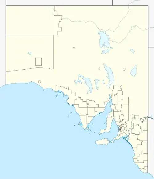
| Location |
| ||||||||||||||
| LGA(s) | Coorong District Council[1] | ||||||||||||||
| Region | Murray and Mallee [1] | ||||||||||||||
| County | Russell[1] | ||||||||||||||
| State electorate(s) | MacKillop[5] | ||||||||||||||
| Federal Division(s) | Barker[6] | ||||||||||||||
| |||||||||||||||
| Footnotes | Adjoining localities[1] | ||||||||||||||
At the 2016 census, the locality of Narrung had a population of 198.[2]
Narrung is located within the federal division of Barker, the state electoral district of MacKillop and the local government area of the Coorong District Council.[6][1][5]
References
- "Search results for 'Narrung, LOCB' with the following datasets being selected - 'Suburbs and Localities', "Government Towns', 'Counties', "Hundreds', 'Local Government Areas', 'SA Government Regions' and 'Gazetteer'". Location SA Map Viewer. Government of South Australia. Retrieved 7 April 2019.
- Australian Bureau of Statistics (27 June 2017). "Narrung (State Suburb)". 2016 Census QuickStats. Retrieved 7 January 2018.

- Kirkpatrick, A.A. (25 April 1907). "TOWN OF NARRUNG" (PDF). The South Australian Government Gazette. Government of South Australia. p. 803. Retrieved 7 April 2019.
- "GEOGRAPHICAL NAMES ACT 1991, Notice to Assign Boundaries and Names to Places {within the Coorong District Council)" (PDF), The South Australian Government Gazette: 596, 24 August 2000, retrieved 6 April 2019
- "District of MacKillop Background Profile". Electoral Commission SA. Archived from the original on 29 December 2017. Retrieved 28 December 2017.
- "Federal electoral division of Barker" (PDF). Australian Electoral Commission. Retrieved 28 December 2017.
This article is issued from Wikipedia. The text is licensed under Creative Commons - Attribution - Sharealike. Additional terms may apply for the media files.