Norris, Ontario
Norris is a Railway point and unincorporated geographic township[2] located in Algoma District, Northeastern Ontario, Canada. The community is counted as part of the Unorganized North Algoma District in Canadian census data.
Norris | |
|---|---|
Railway point Unincorporated area | |
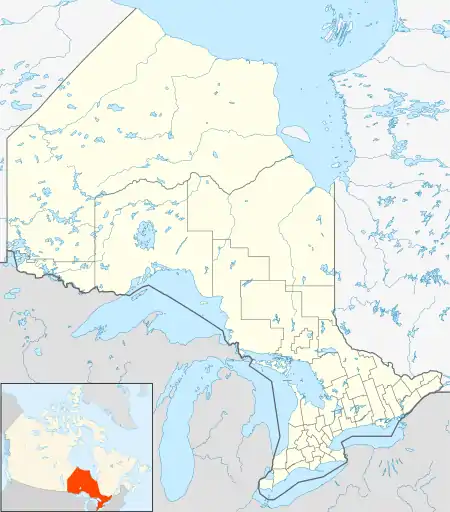 Norris Location in Ontario | |
| Coordinates: 49°10′24″N 84°04′57″W | |
| Country | Canada |
| Province | Ontario |
| District | Algoma |
| Geographic Township | Franz |
| Elevation | 316 m (1,037 ft) |
| Time zone | UTC-5 (Eastern Time Zone) |
| • Summer (DST) | UTC-4 (Eastern Time Zone) |
| Postal Code | P0M |
| Area code(s) | 705, 249 |
Norris is on the Algoma Central Railway line, between the communities of Oba to the south and Kennedy to the north, and has a passing track.
References
- Taken from Google Earth at geographic coordinates, accessed 2014-08-29.
- "Franz" (PDF). Geology Ontario - Historic Claim Maps. Ontario Ministry of Northern Development, Mines and Forestry. Retrieved 2014-08-29.
Other map sources:
- Map 14 (PDF) (Map). 1 : 1,600,000. Official road map of Ontario. Ministry of Transportation of Ontario. 2010-01-01. Retrieved 2014-08-29.
- Restructured municipalities - Ontario map #3 (Map). Restructuring Maps of Ontario. Ontario Ministry of Municipal Affairs and Housing. 2006. Retrieved 2014-08-29.

This article is issued from Wikipedia. The text is licensed under Creative Commons - Attribution - Sharealike. Additional terms may apply for the media files.