Přední Výtoň
Přední Výtoň is a village and municipality (obec) in Český Krumlov District in the South Bohemian Region of the Czech Republic.
Přední Výtoň | |
|---|---|
Municipality | |
 | |
 Flag  Coat of arms | |
 Přední Výtoň | |
| Coordinates: 48°38′4″N 14°7′14″E | |
| Country | |
| Region | South Bohemian |
| District | Český Krumlov |
| Area | |
| • Total | 77.83 km2 (30.05 sq mi) |
| Elevation | 755 m (2,477 ft) |
| Population (2011) | |
| • Total | 222 |
| • Density | 2.9/km2 (7.4/sq mi) |
| Postal code | 382 79 |
| Website | www |
The municipality covers an area of 77.83 square kilometres (30.05 sq mi), and has a population of 200 (as at 28 August 2006).
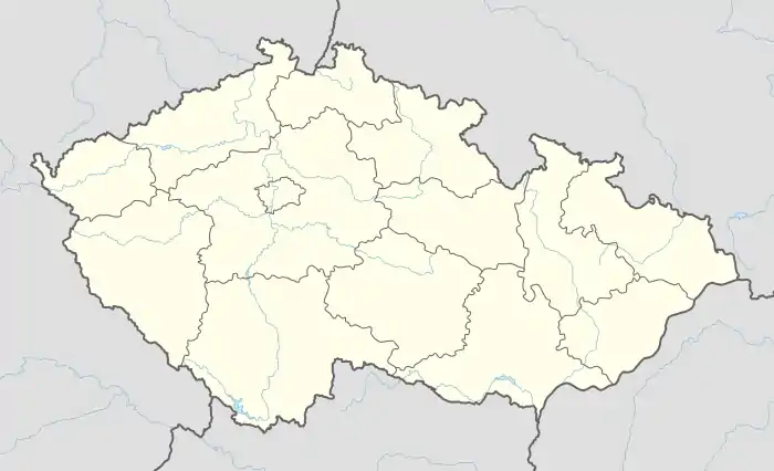
Přední Výtoň lies approximately 25 kilometres (16 mi) south-west of Český Krumlov, 46 km (29 mi) south-west of České Budějovice, and 163 km (101 mi) south of Prague.
This article is issued from Wikipedia. The text is licensed under Creative Commons - Attribution - Sharealike. Additional terms may apply for the media files.