Saint-Fargeau-Ponthierry
Saint-Fargeau-Ponthierry (French: [sɛ̃.faʁʒo.pɔ̃tjɛʁi] (![]() listen)) is a commune in the Seine-et-Marne department in the Île-de-France region in north-central France.
listen)) is a commune in the Seine-et-Marne department in the Île-de-France region in north-central France.
Saint-Fargeau-Ponthierry | |
|---|---|
 The town hall in Saint-Fargeau-Ponthierry | |
 Coat of arms | |
Location of Saint-Fargeau-Ponthierry 
| |
 Saint-Fargeau-Ponthierry 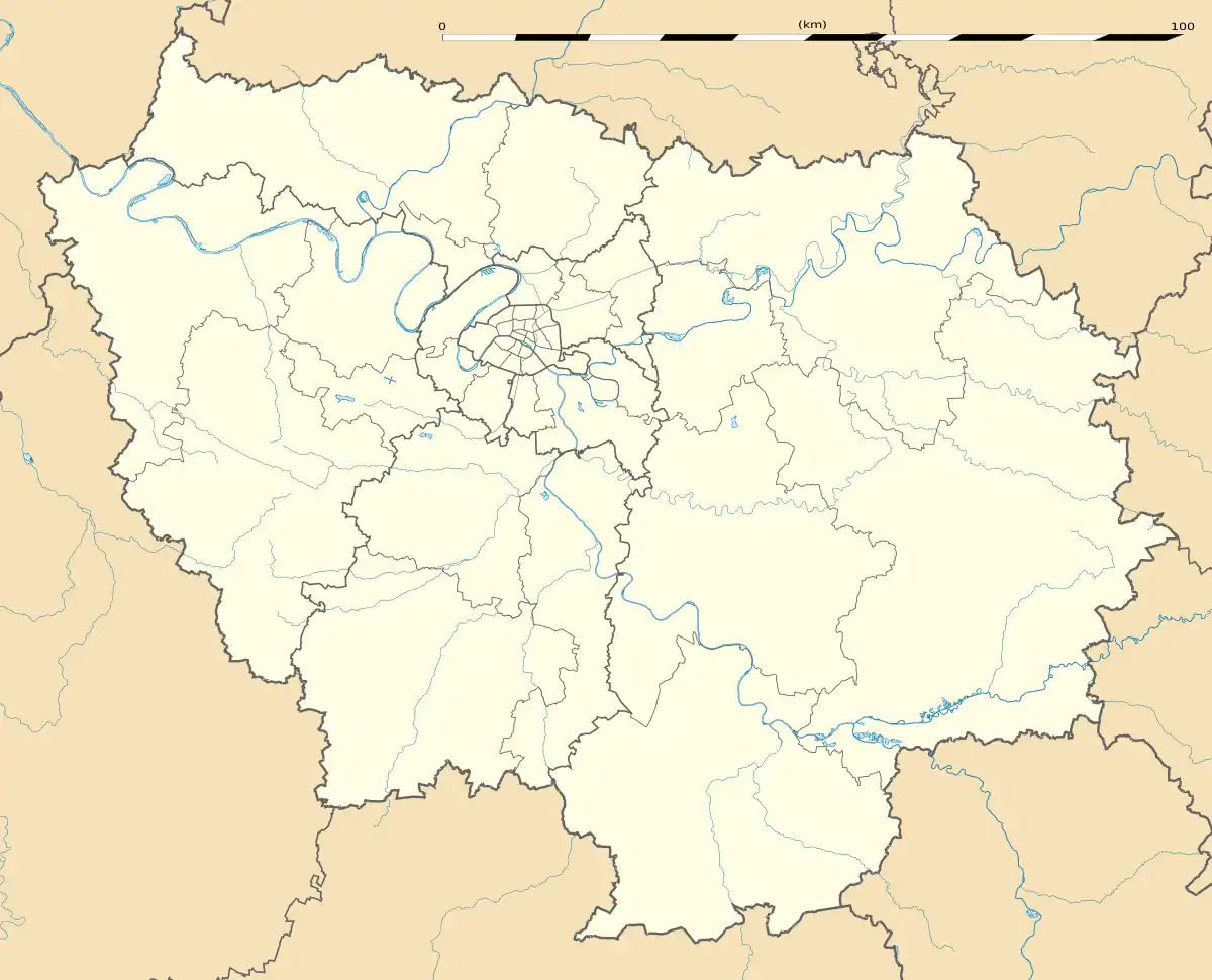 Saint-Fargeau-Ponthierry | |
| Coordinates: 48°31′48″N 2°32′39″E | |
| Country | France |
| Region | Île-de-France |
| Department | Seine-et-Marne |
| Arrondissement | Melun |
| Canton | Saint-Fargeau-Ponthierry |
| Intercommunality | CA Melun Val de Seine |
| Government | |
| • Mayor (2014–2020) | Jérôme Guyard |
| Area 1 | 16.57 km2 (6.40 sq mi) |
| Population (2017-01-01)[1] | 14,206 |
| • Density | 860/km2 (2,200/sq mi) |
| Time zone | UTC+01:00 (CET) |
| • Summer (DST) | UTC+02:00 (CEST) |
| INSEE/Postal code | 77407 /77310 |
| Elevation | 37–86 m (121–282 ft) |
| 1 French Land Register data, which excludes lakes, ponds, glaciers > 1 km2 (0.386 sq mi or 247 acres) and river estuaries. | |
Demographics
Inhabitants of Saint-Fargeau-Ponthierry are called Thierrypontains" or "Ferréopontains.
References
- "Populations légales 2017". INSEE. Retrieved 6 January 2020.
External links
| Wikimedia Commons has media related to Saint-Fargeau-Ponthierry. |
- 1999 Land Use, from IAURIF (Institute for Urban Planning and Development of the Paris-Île-de-France région) (in English)
- Base Mérimée: Search for heritage in the commune, Ministère français de la Culture. (in French)
| Authority control |
|---|
This article is issued from Wikipedia. The text is licensed under Creative Commons - Attribution - Sharealike. Additional terms may apply for the media files.