Villemer, Seine-et-Marne
Villemer is a commune in the Seine-et-Marne department in the Île-de-France region in north-central France.
Villemer | |
|---|---|
 The town hall in Villemer | |
Location of Villemer 
| |
 Villemer 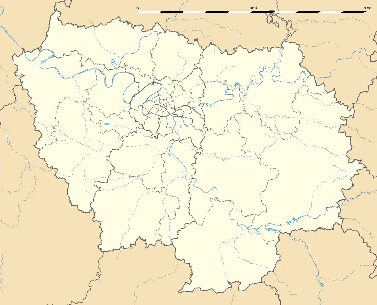 Villemer | |
| Coordinates: 48°18′01″N 2°49′31″E | |
| Country | France |
| Region | Île-de-France |
| Department | Seine-et-Marne |
| Arrondissement | Fontainebleau |
| Canton | Nemours |
| Intercommunality | Moret Seine et Loing |
| Government | |
| • Mayor (2008–2014) | Alain Houdry (PR) |
| Area 1 | 18.54 km2 (7.16 sq mi) |
| Population (2017-01-01)[1] | 742 |
| • Density | 40/km2 (100/sq mi) |
| Time zone | UTC+01:00 (CET) |
| • Summer (DST) | UTC+02:00 (CEST) |
| INSEE/Postal code | 77506 /77250 |
| Elevation | 53–106 m (174–348 ft) |
| 1 French Land Register data, which excludes lakes, ponds, glaciers > 1 km2 (0.386 sq mi or 247 acres) and river estuaries. | |
Geography
The commune is traversed by the Lunain river.
Demographics
Inhabitants of Villemer are called Villemériannaisois.
References
- "Populations légales 2017". INSEE. Retrieved 6 January 2020.
External links
| Wikimedia Commons has media related to Villemer (Seine-et-Marne). |
- 1999 Land Use, from IAURIF (Institute for Urban Planning and Development of the Paris-Île-de-France région) (in English)
- Base Mérimée: Search for heritage in the commune, Ministère français de la Culture. (in French)
| Authority control |
|---|
This article is issued from Wikipedia. The text is licensed under Creative Commons - Attribution - Sharealike. Additional terms may apply for the media files.