Tunitas, California
Tunitas, California was a small unincorporated community in San Mateo County. It was originally located on State Route 1 until that state route was moved to the west. It was also renamed Lobitos.[1]
Tunitas, California | |
|---|---|
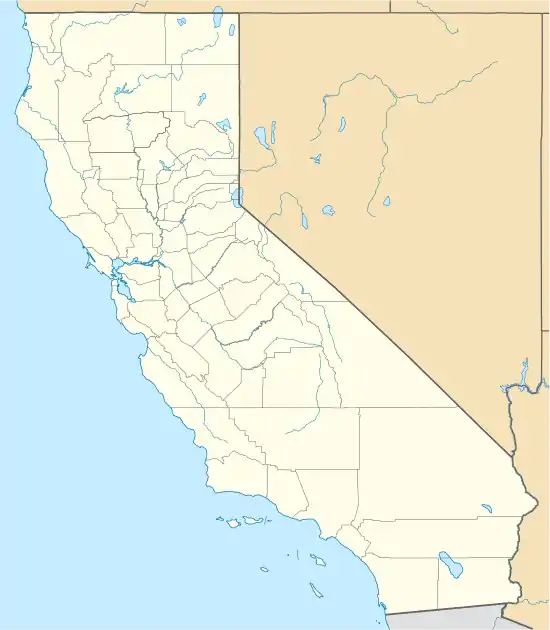 Tunitas, California Location within the state of California | |
| Coordinates: 37°22′59″N 122°23′57″W | |
| Country | United States |
| State | California |
| County | San Mateo |
| Time zone | UTC-8 (Pacific (PST)) |
| • Summer (DST) | UTC-7 (PDT) |
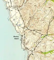
Tunitas on 1940 USGS topo map
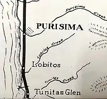
Early planning of rail stops included a station or flag stop at Lobitos near the Tunitas community
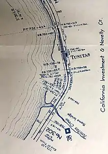
The Ocean Shore Railway Tunitas station along Tunitas Creek not by the town.
Arroyo de las Tunitas is shown on the diseños, about 1839, of the San Gregorio and Canada Verde grants.[2] The name means “A small bush…grows super-abundant at and near its mouth, and its fruit is known to the present generation as sea apples.”[3]
References
- http://bard.wr.usgs.gov/historical/jpg/halfmoonbay1940a.jpg; http://bard.wr.usgs.gov/historical/jpg/halfmoonbay1961a.jpg
- Gudde, Erwin G. (1998). California place names : the origin and etymology of current geographical names (4th ed., rev. and enl. ed.). Berkeley: University of California Press. p. 403. ISBN 0520213165.
- http://www.pescaderomemories.com/2008/02/21/more-tunitas/
Municipalities and communities of San Mateo County, California, United States | ||
|---|---|---|
| Cities and towns |  San Mateo County map | |
| CDPs | ||
| Unincorporated communities | ||
| Ghost towns | ||
| ||
| Bodies of water |
|  |
|---|---|---|
| Counties | ||
| Major cities | ||
| Cities and towns 100k–250k | ||
| Cities and towns 50k–99k | ||
| Cities and towns 25k–50k | ||
| Cities and towns 10k–25k |
| |
| Sub-regions | ||
This article is issued from Wikipedia. The text is licensed under Creative Commons - Attribution - Sharealike. Additional terms may apply for the media files.