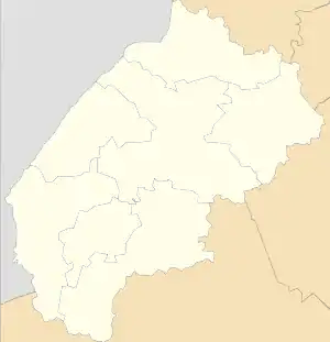
Zavadka, Skole Raion
Zavadka (Ukrainian: Зава́дка) is a small village (selo) in the Skole Raion, Lviv Oblast, of Western Ukraine.
The population of village is just about 648 persons and local government is administered by Zavadkivska village council.[1]
Zavadka, Skole Raion
Завадка (Сколівський район) | |
|---|---|
 Zavadka, Skole Raion | |
| Coordinates: 49°00′46″N 23°10′31″E | |
| Country | |
| Province | |
| District | |
| Established | 1538 |
| Area | |
| • Total | 246 km2 (95 sq mi) |
| Elevation /(average value of) | 700 m (2,300 ft) |
| Population | |
| • Total | 648 |
| • Density | 26,341/km2 (68,220/sq mi) |
| Time zone | UTC+2 (EET) |
| • Summer (DST) | UTC+3 (EEST) |
| Postal code | 82622 |
| Area code | +380 3251 |
| Website | село Завадка (Ukrainian) |
Geography
The village is located in the mountains, that is far from the central road.
It is in the Ukrainian Carpathians within the limits of the Eastern Beskids on the northern slopes of the ridge Dovzhky.[2]
The village is small and has an area of 2,46 km2. It is situated at an altitude of 700 metres (2,300 ft) above sea level. Distance from the regional center Lviv is 148 kilometres (92 mi) , 40 kilometres (25 mi) from the district center Skole, and 16 kilometres (9.9 mi) from the village Oriava.
History and Attractions
The village was founded in 1538 and was known as Ilnychok.[3]
The village has an architectural monument of local importance of Skole Raion[4] – the Cathedral Church of the Blessed Virgin Mary 1887 (wooden) – 2914-M.
References
- Завадківська сільська рада (in Ukrainian)
- Довжки (хребет) (in Ukrainian)
- Село Завадка (Львівська обл., Сколівський р-н): карта вулиць (in Ukrainian)
- Пам'ятки архітектури Сколівського району (in Ukrainian)
External links
Literature
- Історія міст і сіл УРСР : Львівська область, Завадка. – К. : ГРУРЕ, 1968 р. Page 716 (in Ukrainian)