Saint-Julien-aux-Bois
Saint-Julien-aux-Bois is a commune in the Corrèze department in central France.
Saint-Julien-aux-Bois | |
|---|---|
.svg.png.webp) Coat of arms | |
Location of Saint-Julien-aux-Bois 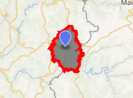
| |
 Saint-Julien-aux-Bois 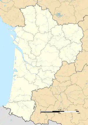 Saint-Julien-aux-Bois | |
| Coordinates: 45°07′51″N 2°08′23″E | |
| Country | France |
| Region | Nouvelle-Aquitaine |
| Department | Corrèze |
| Arrondissement | Tulle |
| Canton | Argentat-sur-Dordogne |
| Government | |
| • Mayor (2008–2014) | Francis Hourtoule |
| Area 1 | 44.09 km2 (17.02 sq mi) |
| Population (2017-01-01)[1] | 466 |
| • Density | 11/km2 (27/sq mi) |
| Time zone | UTC+01:00 (CET) |
| • Summer (DST) | UTC+02:00 (CEST) |
| INSEE/Postal code | 19214 /19220 |
| Elevation | 354–664 m (1,161–2,178 ft) (avg. 580 m or 1,900 ft) |
| 1 French Land Register data, which excludes lakes, ponds, glaciers > 1 km2 (0.386 sq mi or 247 acres) and river estuaries. | |
Geography
The Maronne river forms the commune's southern boundary.
Population
| Year | Pop. | ±% |
|---|---|---|
| 1962 | 730 | — |
| 1968 | 764 | +4.7% |
| 1975 | 697 | −8.8% |
| 1982 | 627 | −10.0% |
| 1990 | 584 | −6.9% |
| 1999 | 501 | −14.2% |
| 2008 | 481 | −4.0% |
See also
References
| Wikimedia Commons has media related to Saint-Julien-aux-Bois. |
- "Populations légales 2017". INSEE. Retrieved 6 January 2020.
| Authority control |
|---|
This article is issued from Wikipedia. The text is licensed under Creative Commons - Attribution - Sharealike. Additional terms may apply for the media files.