Summit Peak
For the mountain in California formerly named Summit Peak, see Mount Ina Coolbrith.
| Summit Peak | |
|---|---|
 Summit Peak | |
| Highest point | |
| Elevation | 13,307 ft (4,056 m) [1][2] |
| Prominence | 2,760 ft (841 m) [3] |
| Isolation | 39.56 mi (63.67 km) [3] |
| Listing | |
| Coordinates | 37°21′02″N 106°41′49″W [1] |
| Geography | |
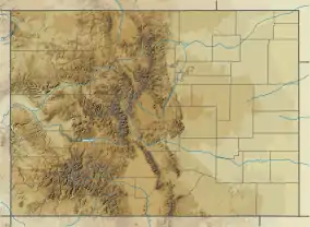
| Location | Continental Divide at the high point of Archuleta County, Colorado, United States[3] |
| Parent range | San Juan Mountains[3] |
| Topo map | USGS 7.5' topographic map Weminuche Pass, Colorado[4] |
| Climbing | |
| Easiest route | hike |
Summit Peak, elevation 13,307 ft (4,056 m), sits on the Continental Divide in southern Colorado. The mountain is the highest point in the South San Juan Wilderness.
See also
References
- "SUMMIT". NGS data sheet. U.S. National Geodetic Survey. Retrieved October 22, 2014. Note: The summit of Summit Peak is -0.15 m (-0.5 ft) lower than NGS station SUMMIT.
- The elevation of Summit Peak includes an adjustment of +1.877 m (+6.16 ft) from NGVD 29 to NAVD 88.
- "Summit Peak, Colorado". Peakbagger.com. Retrieved October 22, 2014.
- "Summit Peak". Geographic Names Information System. United States Geological Survey. Retrieved November 15, 2014.
External links

This article is issued from Wikipedia. The text is licensed under Creative Commons - Attribution - Sharealike. Additional terms may apply for the media files.