Road signs in Iceland
Road signs in Iceland conform to the general pattern of those used in most other European countries, with certain design elements borrowed from Danish and Swedish practice. Signs tend to be more sparsely employed than in other European countries, especially in rural areas.
Design
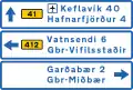
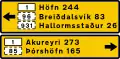
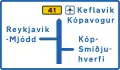
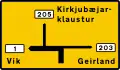
Distances and other measurements are displayed in metric units. All text within the main signs and on auxiliary signs is exclusively in Icelandic with very few exceptions.
Colours and shapes
Icelandic road signs most closely resemble their Swedish counterparts, with rounded corners and yellow backgrounds. However, there are many differences in detail, especially in the silhouettes used.
Shape and colour are used to indicate the function of signs:
| Type of sign | Shape | Border | Background colour | Text/Symbol |
|---|---|---|---|---|
| Warning | Triangular | Red | Yellow | Black |
| Prohibition | Circular | Red | Yellow | Black |
| Mandatory instructions | Circular | White | Blue | White |
| Supplementary | Rectangular | White Red | Blue Yellow | White Black |
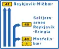
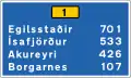
| Directions, sometimes | Rectangular | Black | Yellow | Black |
| Information | Rectangular | White | Blue | White |
Typeface
A version of the Transport typeface employed on road signs in the UK – modified to include accented characters and the Icelandic letters ð (eth) and þ (thorn) – is used on Icelandic road signs.
Gallery
A series
 Curve to the right
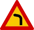 Curve to the left
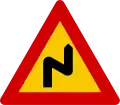 multiple curves, first one to the right
 Multiple curves, first one to the left
 Crossroads with priority to the right
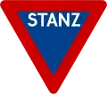
 Give way
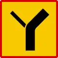
 Crossroads with a minor road
 Merging traffic from right
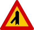 Merging traffic from left
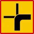
 Junction with a minor side road on right
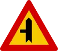 Junction with a minor side road on left
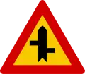 Staggered junctions (first right, second left)
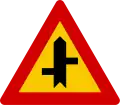 Staggered junctions (first left, second right)
 Roundabout ahead
 Children
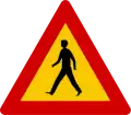 Pedestrian on the road
 Pedestrian crossing ahead
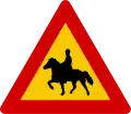 Horse rider
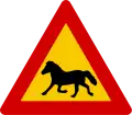 Horses
 Domestic animals
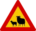 Sheep
Sheep Wild animals
 Road narrows on both sides
 Road narrows on right
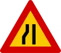 Road narrows on left
 Roadworks ahead
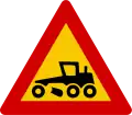 Gravel grader
 Cyclists
 Steep descent
 Steep ascent
 Uneven road ahead
 Road bump ahead
 Falling rocks or debris
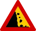 Falling rocks or debris
 Loose road surface
 Traffic signals ahead
 Low-flying aircraft
 Two-way traffic ahead
 Tunnel ahead
 Slippery road surface
 Ice
Ice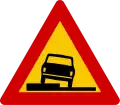 Shoulder drop-off
 Soft verges or dangerous shoulder
 Dangerous crosswinds
 Unprotected quayside or riverbank
 Other danger
B series
 Road closed to all vehicles in both directions
 No entry for vehicular traffic
 No motor vehicles
 No motor vehicles except motorcycles
 No heavy goods vehicles
 No buses
 No vehicles carrying dangerous water pollutants
 No vehicles carrying dangerous goods
 No tractors
 No motorcycles
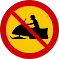 No snowmobiles
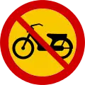 No bicycles with motor assist
 No bicycles
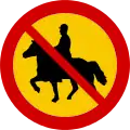 No horses
 No pedestrians
 Minimum safe following distance between vehicles
 Maximum width
 Maximum vehicle length
 Maximum height
 Maximum weight
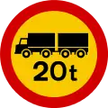 Maximum total weight of truck and trailer
 Maximum weight per axle
 Stop
Stop Stop, checkpoint ahead
 No parking
 No parking between hours indicated
 End of no parking zone
 No stopping
 Give way to oncoming traffic
 Maximum speed limit
 End of maximum speed limit
 Speed limit zone
 End of speed limit zone
 No right turn
 No left turn
 No U-turns
 No overtaking
 No overtaking by heavy goods vehicles
 End of overtaking prohibition
 End of overtaking by HGV prohibition
 End of all restrictions
C series
 Road turns right ahead
 Road turns left ahead
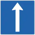
 Proceed straight (no turns)
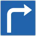
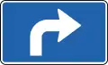
 Turn right ahead
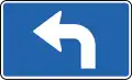
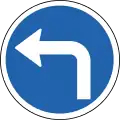 Turn left ahead
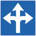
 Proceed straight or turn right
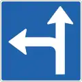
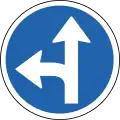 Proceed straight or turn left
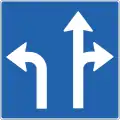
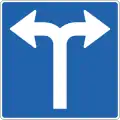
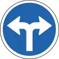 Proceed left or right
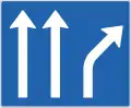
 Pass obstacle on right
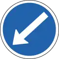 Pass obstacle on left
 Pass obstacle on either side
 Roundabout
 Bicycles only
 Pedestrians only
 Shared use path
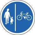 Separate path for pedestrians and bikes (may be reversed)
 Equestrian path
D series
 Parking
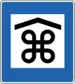
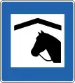
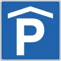 Indoor/Cover parking
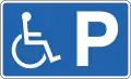 Disabled Parking
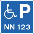 Disabled Parking with max time limit
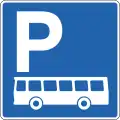 Bus parking
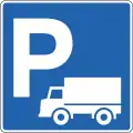 Parking for loading and unloading.
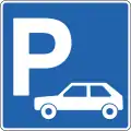 Car park
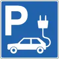 Electric car park/plug in
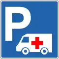 Ambulance parking
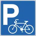 Bicycle parking
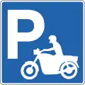 Motorcycle parking
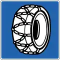 Chains recommended
 Pedestrian crossing
 Priority road
 End of priority road
 Priority over oncoming vehicles
 Manhole
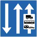
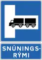 Route for trucks†
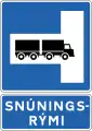 see †
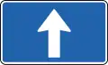
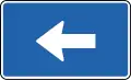
see † One-way street
 One-way street
 No through road
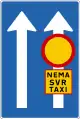
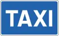 Taxi
Taxi Bus stop
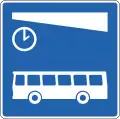 Timed Bus parking
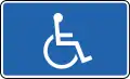
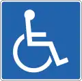 Handicaped only
 Built-up Area Begins
 End of Built-up Area
 Residential area/living street
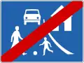 End of residential area/living street
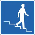 Pedestrian underpass to the right
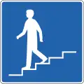 Pedestrian underpass to the left
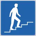 Pedestrian overpass to the right
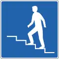 Pedestrian overpass to the left
 In
In Out
Out National speed limits
 Stop ahead for toll
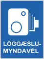 Speed camera
E series
 First aid
 Hospital
 Police
 Pharmacy
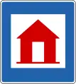 Emergency shelter
 Emergency phone
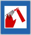 Fire extinguisher
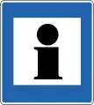 Information
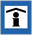 Information booth
 Phone
Phone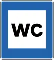 Restroom (water closet)
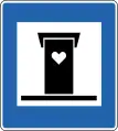 Outhouse
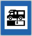 Water tank discharge
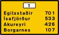
 Town centre
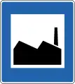 Industrial area
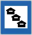
 Point of interest
 Hiking trail
 Picnic area
 Viewpoint
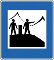 Viewpoint with information
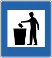 Rubbish bin
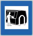 Rubbish container
 Radio station/FM Frequency
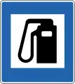 Gasoline
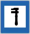 Car mechanic
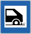 Tyre repair
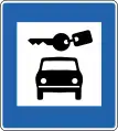 Car rental
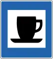 Coffee shop
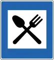 Restaurant
 Refreshments in private home
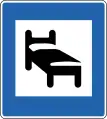 Hotel
Hotel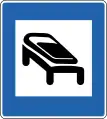 Hostel (sleeping bags only)
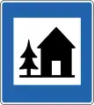 Youth hostel
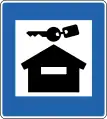 Rental cabin
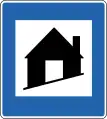 Refuge hut
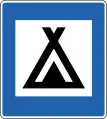 Campsite
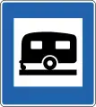 Caravan park
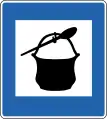 Cooking facilities
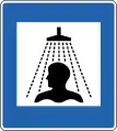 Shower
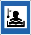 Hot tub
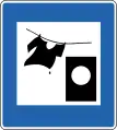 Washing machine
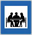 Meeting facilities
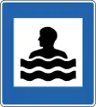 Swimming pool
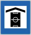 Recreation centre
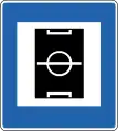 Sports field
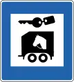
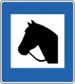 Horses
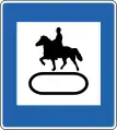
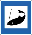 Fishing
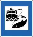 Ocean fishing
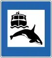 Whale watching
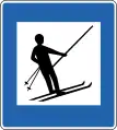 Ski lift
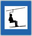 Ski lift with chair
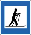 Cross-country ski area
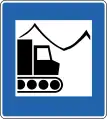 Snowcat trips
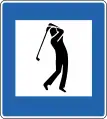 Golf course
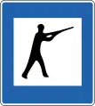
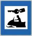 Snowmobile rental
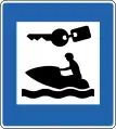 Water scooter rental
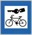 Bicycle rental
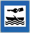 Boat rental
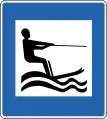 Water skiing
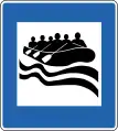 River rafting
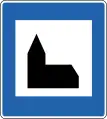 Church
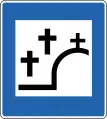 Cemetery
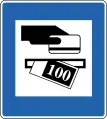 ATM
ATM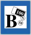 Bank
Bank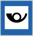 Post office
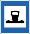 Tourist shop
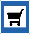 Supermarket
 Bakery
 Food kiosk
 Handicrafts
 Greenhouse
 Art gallery
 Library
 Aquarium
 Domestic animal park
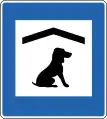 Dog hotel
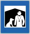 Veterinarian
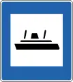 Ferry
Ferry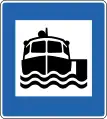 Boat trips
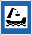
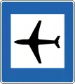 Airport
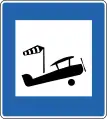 Airstrip
F series


G series
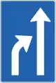
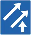
 Lane ends
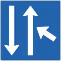
H series
J series
 When the "road condition" begins
 On left
 On right
 On both sides

 Parking time limit[1]


 Handicapped parking[1]
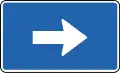

 Blind people[1]
 Deaf people[1]
 Weight limit[1]
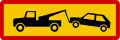 Tow zone[1]
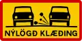 New road surface[1]
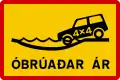 Unbridged river crossing[1]
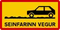 Slow road: Driving is difficult but not impossible for non-4×4 cars[1]
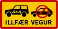 Difficult road: 4×4 car required (these and "TORLEIÐI" are typically preceded with an F, e.g. F35)[1]
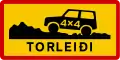 Mountain road: Extremely difficult terrain, even in 4×4s[1]
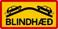 Blind hill[1]
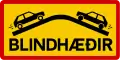 Blind hills[1]
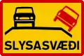 Area with higher accident risk[1]
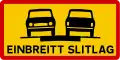 One-lane road[1]
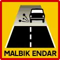 Start of gravel road, slow to 80 km/h (for the best conditions, vary by weather)
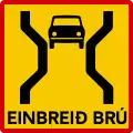 One-lane bridge[1]
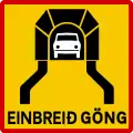 One-lane tunnel
 Stop ahead[1]
 One-lane bridge (with length)[1]
 Street running[1]
.svg.png.webp)
.svg.png.webp)
.svg.png.webp)