List of United Kingdom locations: Chi-Ck
This is part of the list of United Kingdom locations: a gazetteer of place names in the United Kingdom showing each place's locality and geographical coordinates.
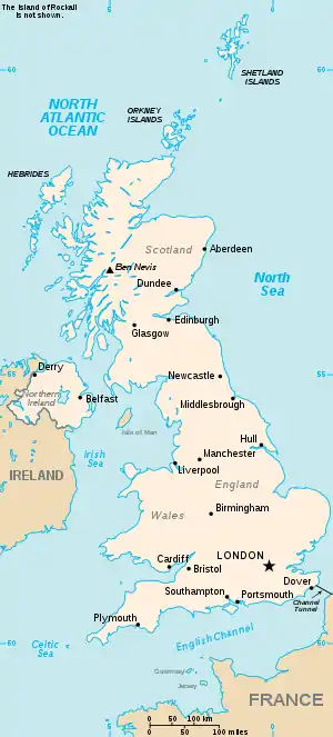
The United Kingdom
Ch (continued)
Chi
Cho
Chr
| Location | Locality | Coordinates (links to map & photo sources) |
OS grid reference |
| Chrishall | Essex | 52.03°N 00.09°E | TL4439 |
| Christchurch | Bournemouth | 50.72°N 01.78°W | SZ1592 |
| Christchurch | Cambridgeshire | 52.54°N 00.19°E | TL4996 |
| Christchurch | Gloucestershire | 51.80°N 02.62°W | SO5712 |
| Christchurch | City of Newport | 51.59°N 02.95°W | ST3489 |
| Christian Malford | Wiltshire | 51.50°N 02.05°W | ST9678 |
| Christleton | Cheshire | 53.17°N 02.83°W | SJ4465 |
| Christmas Common | Oxfordshire | 51.63°N 00.97°W | SU7193 |
| Christon | North Somerset | 51.30°N 02.90°W | ST3757 |
| Christon Bank | Northumberland | 55.50°N 01.66°W | NU2123 |
| Christow | Devon | 50.64°N 03.65°W | SX8384 |
| Chryston | North Lanarkshire | 55.90°N 04.11°W | NS6870 |
Chub-Chun
| Location | Locality | Coordinates (links to map & photo sources) |
OS grid reference |
| Chub Tor | Devon | 50.47°N 04.10°W | SX5166 |
| Chuck Hatch | East Sussex | 51.07°N 00.09°E | TQ4733 |
| Chudleigh | Devon | 50.59°N 03.61°W | SX8679 |
| Chudleigh Knighton | Devon | 50.58°N 03.63°W | SX8477 |
| Chulmleigh | Devon | 50.91°N 03.87°W | SS6814 |
| Chunal | Derbyshire | 53.41°N 01.95°W | SK0391 |
Church
Churn-Chuz
| Location | Locality | Coordinates (links to map & photo sources) |
OS grid reference |
| Churnet Grange | Staffordshire | 53.06°N 02.03°W | SJ9852 |
| Churscombe | Devon | 50.44°N 03.59°W | SX8762 |
| Churston Ferrers | Devon | 50.38°N 03.54°W | SX9055 |
| Churt | Surrey | 51.13°N 00.78°W | SU8538 |
| Churton | Cheshire | 53.09°N 02.88°W | SJ4156 |
| Churwell | Leeds | 53.75°N 01.59°W | SE2729 |
| Chute Cadley | Wiltshire | 51.27°N 01.55°W | SU3153 |
| Chute Forest | Wiltshire | 51.26°N 01.56°W | SU3051 |
| Chute Standen | Wiltshire | 51.27°N 01.57°W | SU3053 |
Chw-Chz
| Location | Locality | Coordinates (links to map & photo sources) |
OS grid reference |
| Chweffordd | Conwy | 53.23°N 03.75°W | SH8372 |
| Chwilog | Gwynedd | 52.91°N 04.33°W | SH4338 |
| Chwitffordd | Flintshire | 53.29°N 03.29°W | SJ1478 |
| Chyandour | Cornwall | 50.11°N 05.54°W | SW4730 |
| Chyanvounder | Cornwall | 50.05°N 05.28°W | SW6522 |
| Chycoose | Cornwall | 50.20°N 05.08°W | SW8038 |
| Chynhale | Cornwall | 50.12°N 05.30°W | SW6430 |
| Chynoweth | Cornwall | 50.12°N 05.44°W | SW5431 |
| Chyvarloe | Cornwall | 50.06°N 05.28°W | SW6523 |
Ci
This article is issued from Wikipedia. The text is licensed under Creative Commons - Attribution - Sharealike. Additional terms may apply for the media files.