List of United Kingdom locations: Hi-Highr
This is part of the list of United Kingdom locations: a gazetteer of place names in the United Kingdom showing each place's locality and geographical coordinates.
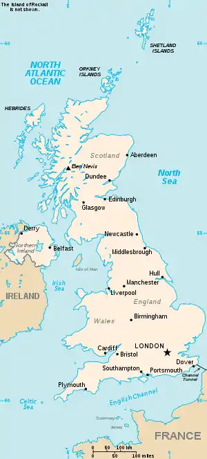
The United Kingdom
Hi
Hib-Hif
| Location | Locality | Coordinates (links to map & photo sources) |
OS grid reference |
| Hibaldstow | North Lincolnshire | 53.50°N 00.53°W | SE9702 |
| Hibb's Green | Suffolk | 52.14°N 00.73°E | TL8753 |
| Hickford Hill | Essex | 52.06°N 00.59°E | TL7844 |
| Hickleton | Doncaster | 53.53°N 01.27°W | SE4805 |
| Hickling | Norfolk | 52.75°N 01.57°E | TG4123 |
| Hickling | Nottinghamshire | 52.85°N 00.97°W | SK6929 |
| Hickling Green | Norfolk | 52.75°N 01.55°E | TG4023 |
| Hickling Heath | Norfolk | 52.74°N 01.55°E | TG4022 |
| Hickling Pastures | Nottinghamshire | 52.84°N 01.02°W | SK6628 |
| Hickmans Green | Kent | 51.28°N 00.95°E | TR0658 |
| Hicks Forstal | Kent | 51.32°N 01.12°E | TR1863 |
| Hicks Gate | City of Bristol | 51.41°N 02.53°W | ST6369 |
| Hick's Mill | Cornwall | 50.21°N 05.14°W | SW7640 |
| Hickstead | West Sussex | 50.96°N 00.20°W | TQ2620 |
| Hidcote Bartrim | Gloucestershire | 52.07°N 01.75°W | SP1742 |
| Hidcote Boyce | Gloucestershire | 52.06°N 01.75°W | SP1741 |
| Hifnal | Shropshire | 52.58°N 02.44°W | SO7099 |
Hig-High R
This article is issued from Wikipedia. The text is licensed under Creative Commons - Attribution - Sharealike. Additional terms may apply for the media files.