Valhuon
Valhuon is a commune in the Pas-de-Calais department in the Hauts-de-France region of France.
Valhuon | |
|---|---|
 The church of Valhuon | |
 Coat of arms | |
Location of Valhuon 
| |
 Valhuon 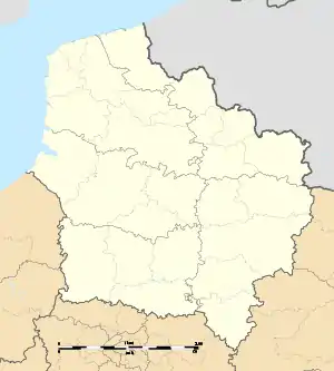 Valhuon | |
| Coordinates: 50°26′05″N 2°22′41″E | |
| Country | France |
| Region | Hauts-de-France |
| Department | Pas-de-Calais |
| Arrondissement | Arras |
| Canton | Saint-Pol-sur-Ternoise |
| Intercommunality | CC Ternois |
| Government | |
| • Mayor (2014–2020) | Francis Frémaux |
| Area 1 | 9.17 km2 (3.54 sq mi) |
| Population (2017-01-01)[1] | 569 |
| • Density | 62/km2 (160/sq mi) |
| Time zone | UTC+01:00 (CET) |
| • Summer (DST) | UTC+02:00 (CEST) |
| INSEE/Postal code | 62835 /62550 |
| Elevation | 118–167 m (387–548 ft) (avg. 145 m or 476 ft) |
| 1 French Land Register data, which excludes lakes, ponds, glaciers > 1 km2 (0.386 sq mi or 247 acres) and river estuaries. | |
Geography
Valhoun lies 26 miles (41.8 km) northwest of Arras, at the junction of the D77 and D916 roads.
Population
| Year | 1962 | 1968 | 1975 | 1982 | 1990 | 1999 | 2006 |
|---|---|---|---|---|---|---|---|
| Population | 462 | 529 | 513 | 545 | 535 | 469 | 541 |
| From the year 1962 on: No double counting—residents of multiple communes (e.g. students and military personnel) are counted only once. | |||||||
Places of interest
- The church of St.Omer, dating from the seventeenth century.
- The sixteenth-century chateau.
- A windmill built in the 18th century.
This article is issued from Wikipedia. The text is licensed under Creative Commons - Attribution - Sharealike. Additional terms may apply for the media files.