Allouagne
Allouagne is a commune in the Pas-de-Calais department in the Hauts-de-France region of France.
Allouagne | |
|---|---|
 A general view of Allouagne | |
 Coat of arms | |
Location of Allouagne 
| |
 Allouagne 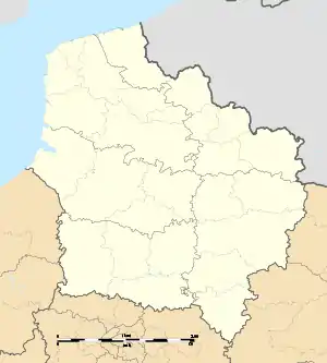 Allouagne | |
| Coordinates: 50°31′52″N 2°30′32″E | |
| Country | France |
| Region | Hauts-de-France |
| Department | Pas-de-Calais |
| Arrondissement | Béthune |
| Canton | Lillers |
| Intercommunality | Communauté d'agglomération de Béthune-Bruay, Artois-Lys Romane |
| Government | |
| • Mayor (2014-2020) | André Hennebelle |
| Area 1 | 7.81 km2 (3.02 sq mi) |
| Population (2017-01-01)[1] | 2,925 |
| • Density | 370/km2 (970/sq mi) |
| Time zone | UTC+01:00 (CET) |
| • Summer (DST) | UTC+02:00 (CEST) |
| INSEE/Postal code | 62023 /62157 |
| Elevation | 20–100 m (66–328 ft) (avg. 50 m or 160 ft) |
| 1 French Land Register data, which excludes lakes, ponds, glaciers > 1 km2 (0.386 sq mi or 247 acres) and river estuaries. | |
Geography
A large farming village situated some 6 miles (9.7 km) west of Béthune and 30 miles (48.3 km) southwest of Lille, at the junction of the D188 and the D183 roads. The town is bypassed by the A26 autoroute to the north.
Population
| Year | Pop. | ±% |
|---|---|---|
| 1962 | 2,703 | — |
| 1968 | 2,918 | +8.0% |
| 1975 | 2,964 | +1.6% |
| 1982 | 2,970 | +0.2% |
| 1990 | 3,055 | +2.9% |
| 1999 | 3,055 | +0.0% |
| 2006 | 3,057 | +0.1% |
| 2007 | 3,057 | +0.0% |
| 2009 | 3,095 | +1.2% |
| 2012 | 3,008 | −2.8% |
| 2014 | 2,967 | −1.4% |
| 2015 | 2,953 | −0.5% |
Sights
- Two manorhouses, dating from the 16th and 17th century.
- The church of Saint-Leger, dating from the twentieth century.
References
- "Populations légales 2017". INSEE. Retrieved 6 January 2020.
| Wikimedia Commons has media related to Allouagne. |
| Authority control |
|---|
This article is issued from Wikipedia. The text is licensed under Creative Commons - Attribution - Sharealike. Additional terms may apply for the media files.